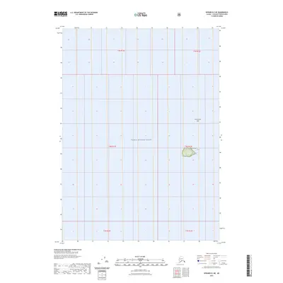
2023 Map of Seward B-2 NE
USGS Topo · Published 2023About this map
Prince William Sound dominates this maritime survey, illustrating the isolated coastal topography of Southcentral Alaska. The map focuses on the open waters and specific navigational landmarks, such as the small landmass of Seal Island and the hazard of Pennsylvania Rock. While the surrounding area is largely characterized by open water, the inclusion of Public Land Survey System township and range lines, including t4n r12e and t5n r11e, provides a structural grid for this remote section of the Chugach Census Area. This documentation of the shoreline and maritime features serves as a specific record of the sound's geography as it appeared in the early twenty-first century.
Find a feature on this map
9 named features on this map. Tap any name to fly to it.
Don’t see what you’re looking for? This feature index may not catch every label — zoom into the map to look around manually.
Map Details
Editions of this 2023 Seward B-2 NE Map
This is the sole edition of this map. No revisions or reprints were ever made.
Other maps of this area

1951 · Seward
USGS Topo · 1:250,000

1951 · Seward B-1
USGS Topo · 1:63,360

1951 · Seward B-2
USGS Topo · 1:63,360

1951 · Seward C-1
USGS Topo · 1:63,360

1951 · Seward C-2
USGS Topo · 1:63,360

1952 · Seward C-1
USGS Topo · 1:63,360

1952 · Seward B-1
USGS Topo · 1:63,360

1952 · Seward B-2
USGS Topo · 1:63,360

1952 · Seward C-2
USGS Topo · 1:63,360

1953 · Seward
USGS Topo · 1:250,000