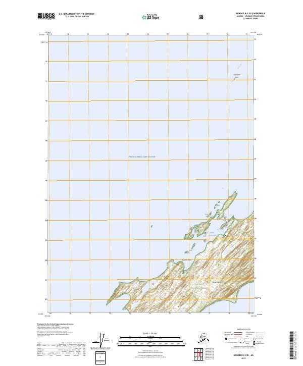
2023 Map of Seward B-2 SE
USGS Topo · Published 2023About this map
Green Island dominates the southeastern quadrant of this maritime survey, situated within the expansive waters of Prince William Sound. The island's northern coastline is punctuated by Putnam Point and the sheltered waters of Gibbon Anchorage, providing a detailed look at the land-water interface of the Chugach National Forest. To the north, the isolated Applegate Rock serves as a lone navigational marker in the open sound.
Find a feature on this map
10 named features on this map. Tap any name to fly to it.
Don’t see what you’re looking for? This feature index may not catch every label — zoom into the map to look around manually.
Map Details
Editions of this 2023 Seward B-2 SE Map
This is the sole edition of this map. No revisions or reprints were ever made.
Other maps of this area

1951 · Seward
USGS Topo · 1:250,000

1951 · Seward B-1
USGS Topo · 1:63,360

1951 · Seward A-2
USGS Topo · 1:63,360

1951 · Seward A-1
USGS Topo · 1:63,360

1951 · Seward B-2
USGS Topo · 1:63,360

1952 · Seward B-1
USGS Topo · 1:63,360

1952 · Seward B-2
USGS Topo · 1:63,360

1953 · Seward A-2
USGS Topo · 1:63,360

1953 · Seward A-1
USGS Topo · 1:63,360

1953 · Seward
USGS Topo · 1:250,000