
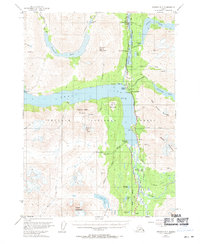
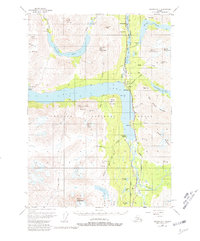
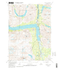
1951 Map of Seward B-7
USGS Topo · Published 1960About this map
Kenai Lake and the Kenai Mountains define the topography of this portion of the Chugach National Forest, where the Alaska Railroad and Sterling Highway create a vital transportation corridor through the glacial valleys. The map documents the early 1950s settlement patterns along the rail line, including the Minnie Andacher Homestead and small communities like Lawing, Lakeview, and Primrose. These outposts represent the era's reliance on both the railway and the nascent road system for access to the interior.
Find a feature on this map
56 named features on this map. Tap any name to fly to it.
Don’t see what you’re looking for? This feature index may not catch every label — zoom into the map to look around manually.
Map Details
Editions of this 1951 Seward B-7 Map
4 editions found
Other maps of this area

1950 · Seward A-6
USGS Topo · 1:63,360

1950 · Seward A-8
USGS Topo · 1:63,360

1950 · Seward A-7
USGS Topo · 1:63,360

1951 · Seward
USGS Topo · 1:250,000

1951 · Seward A-6
USGS Topo · 1:63,360

1951 · Seward A-7
USGS Topo · 1:63,360

1951 · Seward C-6
USGS Topo · 1:63,360

1951 · Seward B-6
USGS Topo · 1:63,360

1951 · Seward C-8
USGS Topo · 1:63,360

1951 · Seward B-8
USGS Topo · 1:63,360