2018 Map of Seward C-1 SW
USGS Topo · Published 2018About this map
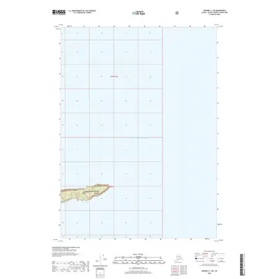
Smith Island dominates the southern landscape of this coastal survey, appearing as a singular landmass within the expansive waters of Prince William Sound. This island is entirely contained within the boundaries of the Chugach National Forest, illustrating the protected status of the maritime environment in this part of the Valdez-Cordova Census Area. The map depicts a mostly open aquatic territory defined by the Public Land Survey System grids t6n r12e and t5n r12e, highlighting the remote and uninhabited nature of the sound. The island's topography is marked by modest elevation contours, providing a rare point of terrestrial orientation in an area otherwise dominated by the sea.
Find a feature on this map
5 named features on this map. Tap any name to fly to it.
Don’t see what you’re looking for? This feature index may not catch every label — zoom into the map to look around manually.
Map Details
Editions of this 2018 Seward C-1 SW Map
This is the sole edition of this map. No revisions or reprints were ever made.
Other maps of this area

1951 · Seward
USGS Topo · 1:250,000

1951 · Seward B-1
USGS Topo · 1:63,360

1951 · Seward B-2
USGS Topo · 1:63,360

1951 · Seward C-1
USGS Topo · 1:63,360

1951 · Seward C-2
USGS Topo · 1:63,360

1952 · Seward C-1
USGS Topo · 1:63,360

1952 · Seward B-1
USGS Topo · 1:63,360

1952 · Seward B-2
USGS Topo · 1:63,360

1952 · Seward C-2
USGS Topo · 1:63,360

1953 · Seward
USGS Topo · 1:250,000