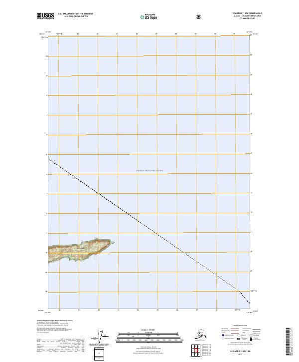
2023 Map of Seward C-1 SW
USGS Topo · Published 2023About this map
Prince William Sound dominates this maritime survey, illustrating the vast open waters of south-central Alaska during the early 21st century. The map focuses on a remote nautical landscape where the sea meets the northern edge of Smith Island, a landform defined by its narrow profile and steep elevation contours. This area is situated within the protected boundaries of the Chugach National Forest, emphasizing the region's status as a managed wilderness area where natural topography remains largely undisturbed by permanent infrastructure or settlements.
Find a feature on this map
5 named features on this map. Tap any name to fly to it.
Don’t see what you’re looking for? This feature index may not catch every label — zoom into the map to look around manually.
Map Details
Editions of this 2023 Seward C-1 SW Map
This is the sole edition of this map. No revisions or reprints were ever made.
Other maps of this area

1951 · Seward
USGS Topo · 1:250,000

1951 · Seward B-1
USGS Topo · 1:63,360

1951 · Seward B-2
USGS Topo · 1:63,360

1951 · Seward C-1
USGS Topo · 1:63,360

1951 · Seward C-2
USGS Topo · 1:63,360

1952 · Seward C-1
USGS Topo · 1:63,360

1952 · Seward B-1
USGS Topo · 1:63,360

1952 · Seward B-2
USGS Topo · 1:63,360

1952 · Seward C-2
USGS Topo · 1:63,360

1953 · Seward
USGS Topo · 1:250,000