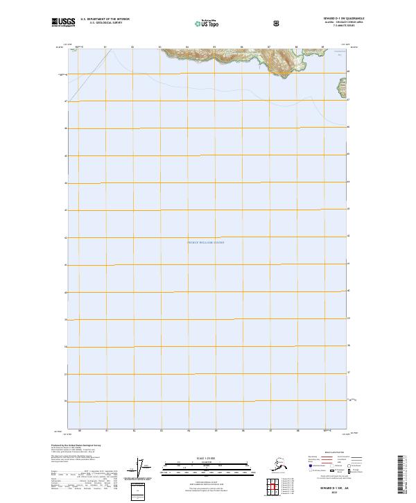
2023 Map of Seward D-1 SW
USGS Topo · Published 2023About this map
Prince William Sound dominates this maritime survey, illustrating the vast watery expanse that defines the Chugach Census Area. Along the northern shoreline, the map identifies Chugach National Forest land, including the specific coastal indentation of Chamberlain Bay. The terrain here is marked by significant elevation changes, with Cave Point standing as a notable landmark where the forest meets the sound. This modern 2023 edition uses data from the National Hydrography and Elevation Datasets to provide a precise view of the coastline and township boundaries, including t11s r11w and t9n r12e, where the wilderness of the Chugach NF transitions into open water.
Find a feature on this map
10 named features on this map. Tap any name to fly to it.
Don’t see what you’re looking for? This feature index may not catch every label — zoom into the map to look around manually.
Map Details
Editions of this 2023 Seward D-1 SW Map
This is the sole edition of this map. No revisions or reprints were ever made.
Other maps of this area

1951 · Seward
USGS Topo · 1:250,000

1951 · Seward D-2
USGS Topo · 1:63,360

1951 · Seward D-1
USGS Topo · 1:63,360

1951 · Seward C-1
USGS Topo · 1:63,360

1951 · Seward C-2
USGS Topo · 1:63,360

1952 · Seward C-1
USGS Topo · 1:63,360

1952 · Seward D-1
USGS Topo · 1:63,360

1952 · Seward C-2
USGS Topo · 1:63,360

1952 · Seward D-2
USGS Topo · 1:63,360

1953 · Seward
USGS Topo · 1:250,000