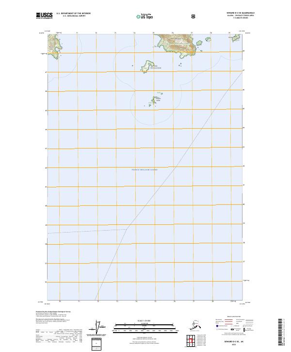
2023 Map of Seward D-2 SE
USGS Topo · Published 2023About this map
Chugach National Forest land and the waters of Prince William Sound define this coastal Alaska quadrangle. The map focuses on a series of islands and coastal points, primarily providing topographical detail for Fairmount Island and the smaller Little Fairmount Island. Further west, Olsen Island and the tiny Outpost Island appear as distinct landmarks within the sound. The terrain is notably steep on Fairmount Island, where contour lines show elevation rising rapidly from the waterline. Granite Point marks a prominent feature on the northeastern shoreline. This 2023 survey serves as a contemporary record of these maritime boundaries and landforms within the larger Chugach NF protected area.
Find a feature on this map
13 named features on this map. Tap any name to fly to it.
Don’t see what you’re looking for? This feature index may not catch every label — zoom into the map to look around manually.
Map Details
Editions of this 2023 Seward D-2 SE Map
This is the sole edition of this map. No revisions or reprints were ever made.
Other maps of this area

1951 · Seward
USGS Topo · 1:250,000

1951 · Seward D-2
USGS Topo · 1:63,360

1951 · Seward D-1
USGS Topo · 1:63,360

1951 · Seward C-1
USGS Topo · 1:63,360

1951 · Seward C-2
USGS Topo · 1:63,360

1952 · Seward C-1
USGS Topo · 1:63,360

1952 · Seward D-1
USGS Topo · 1:63,360

1952 · Seward C-2
USGS Topo · 1:63,360

1952 · Seward D-2
USGS Topo · 1:63,360

1953 · Seward
USGS Topo · 1:250,000