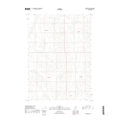
2017 Map of Seward D-8 SW
USGS Topo · Published 2017About this map
Big Indian Cr defines the primary drainage pattern across this uninhabited stretch of the Kenai Peninsula. The landscape is marked by extreme elevation changes, where high-altitude contours descend sharply toward the creek beds. Mapping of this area reflects the complex topographic character of the Alaska wilderness, highlighting the natural hydrological network within the township and range divisions of t9n r4w, t9n r3w, t8n r4w, and t8n r3w. These survey boundaries delineate the remote interior of the borough, providing a precise look at the land's form and water drainage systems before the mid-2010s.
Find a feature on this map
5 named features on this map. Tap any name to fly to it.
Don’t see what you’re looking for? This feature index may not catch every label — zoom into the map to look around manually.
Map Details
Editions of this 2017 Seward D-8 SW Map
This is the sole edition of this map. No revisions or reprints were ever made.
Other maps of this area

1944 · Kenai
USGS Topo · 1:250,000

1950 · Kenai
USGS Topo · 1:250,000

1951 · Seward
USGS Topo · 1:250,000

1951 · Kenai C-1
USGS Topo · 1:63,360

1951 · Kenai D-1
USGS Topo · 1:63,360

1951 · Seward C-8
USGS Topo · 1:63,360

1951 · Seward D-8
USGS Topo · 1:63,360

1952 · Kenai C-1
USGS Topo · 1:63,360

1952 · Seward D-8
USGS Topo · 1:63,360

1952 · Seward C-8
USGS Topo · 1:63,360