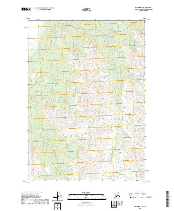
2023 Map of Seward D-8 SW
USGS Topo · Published 2023About this map
Kenai National Wildlife Refuge encompasses the majority of this landscape, which is defined by significant elevation changes and the passage of Big Indian Creek. This remote stretch of the Kenai Peninsula remains largely undeveloped, showcasing a pristine wilderness environment. The topography is dominated by steep ridges and valleys, with the creek winding through the central and southern portions of the sheet. The absence of roads or established settlements highlights the preservation of the area's natural state, serving as a snapshot of the Alaskan backcountry in the early 21st century. The map provides precise surveying of the Public Land Survey System, including boundaries for t9n r4w, t9n r3w, t8n r4w, and t8n r3w, which help orient researchers within the sprawling federal refuge.
Find a feature on this map
6 named features on this map. Tap any name to fly to it.
Don’t see what you’re looking for? This feature index may not catch every label — zoom into the map to look around manually.
Map Details
Editions of this 2023 Seward D-8 SW Map
This is the sole edition of this map. No revisions or reprints were ever made.
Other maps of this area

1944 · Kenai
USGS Topo · 1:250,000

1950 · Kenai
USGS Topo · 1:250,000

1951 · Seward
USGS Topo · 1:250,000

1951 · Kenai C-1
USGS Topo · 1:63,360

1951 · Kenai D-1
USGS Topo · 1:63,360

1951 · Seward C-8
USGS Topo · 1:63,360

1951 · Seward D-8
USGS Topo · 1:63,360

1952 · Kenai C-1
USGS Topo · 1:63,360

1952 · Seward D-8
USGS Topo · 1:63,360

1952 · Seward C-8
USGS Topo · 1:63,360