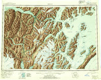
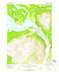
1951 Map of Seward
USGS Topo · Published 1954About this map
The Kenai Peninsula serves as the hub of maritime and rail activity in this mid-century survey, anchored by the coastal terminal at Seward. The complex relationship between the glaciated terrain and human infrastructure is evident in the path of The Alaska Railroad, which navigates through stations like Grandview Station and Moose Pass Station to connect the port at Whittier with the interior. The map documents vital community landmarks such as the Jesse Lee Indian School and numerous post offices including those at Chenega and Latouche.
Find a feature on this map
285 named features on this map. Tap any name to fly to it.
Don’t see what you’re looking for? This feature index may not catch every label — zoom into the map to look around manually.
Map Details
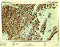
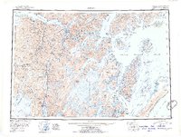
Editions of this 1951 Seward Map
4 editions found

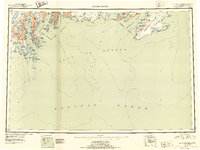
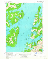
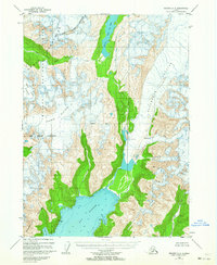
Other maps of this area

1944 · Kenai
USGS Topo · 1:250,000
1946 · Blying Sound
USGS Topo · 1:250,000

1948 · Cordova
USGS Topo · 1:250,000

1948 · Middleton Island
USGS Topo · 1:250,000

1949 · Tyonek
USGS Topo · 1:250,000

1950 · Kenai
USGS Topo · 1:250,000

1950 · Middleton Island
USGS Topo · 1:250,000
1950 · Kenai B-1
USGS Topo · 1:63,360
1950 · Seward B-3
USGS Topo · 1:63,360
1950 · Seward A-6
USGS Topo · 1:63,360