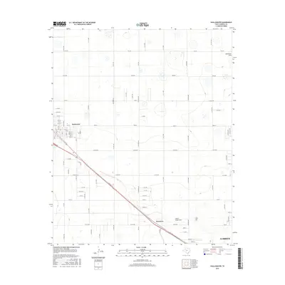
2016 Map of Shallowater
USGS Topo · Published 2016About this map
Shallowater and the northern outskirts of Lubbock anchor this 2016 survey of the South Plains. The landscape is defined by the subtle, intermittent drainages of Blackwater Draw and Yellow House Draw, which cut through a grid of rural roads and expanding residential developments. The transition from agricultural land to urban suburbanization is evident in the dense street network of Shallowater, including 12th St and Drew St, contrasted with the sparse layout of Broadview. Major transit corridors like Frankford Ave, Quaker Ave, and Milwaukee Ave illustrate the modern connectivity between these communities and the regional hub to the south. Small depressions and playa lakes characteristic of the Llano Estacado dot the terrain, often occurring near intersections like Fm 1729 and N C R 1700.
Find a feature on this map
88 named features on this map. Tap any name to fly to it.
Don’t see what you’re looking for? This feature index may not catch every label — zoom into the map to look around manually.
Map Details
Editions of this 2016 Shallowater Map
This is the sole edition of this map. No revisions or reprints were ever made.
Other maps of this area

1954 · Lubbock
USGS Topo · 1:250,000

1954 · Brownfield
USGS Topo · 1:250,000

1956 · Shallowater
USGS Topo · 1:24,000

1956 · New Deal
USGS Topo · 1:24,000

1957 · Lubbock East
USGS Topo · 1:24,000

1957 · Lubbock West
USGS Topo · 1:24,000

1957 · Lubbock
USGS Topo · 1:62,500

1957 · Anton
USGS Topo · 1:62,500

1957 · Abernathy
USGS Topo · 1:62,500

1957 · Wolfforth
USGS Topo · 1:62,500