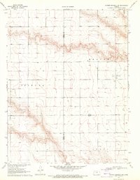
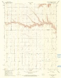
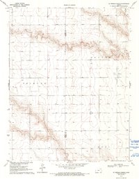
1970 Map of Sharon Springs 4 SE
USGS Topo · Published 1971This historical map portrays the area of Sharon Springs 4 SE in 1970, primarily covering Wichita County as well as portions of Greeley County. Featuring a scale of 1:24000, this map provides a highly detailed snapshot of the terrain, roads, buildings, counties, and historical landmarks in the Sharon Springs 4 SE region at the time. Published in 1971, it is one of 3 known editions of this map due to revisions or reprints.
Map Details
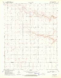
Editions of this 1970 Sharon Springs 4 SE Map
3 editions found

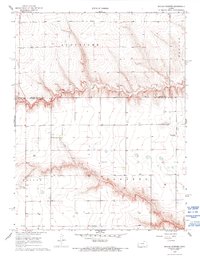
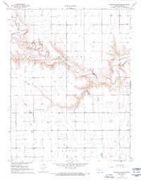
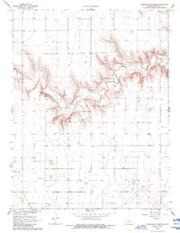
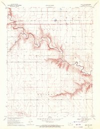
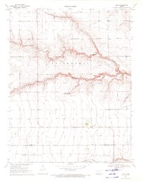
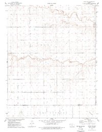
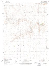
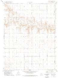
Historical Maps of Leoti Township Through Time
11 maps found
1968 Beulah Cemetery
Wichita County, KS
1968 Carwood Cemetery
Wichita County, KS
1968 Coronado Cemetery
Wichita County, KS
1968 South of Twin Butte
Wichita County, KS
1970 Leoti NW
Wichita County, KS
1970 Leoti SW
Wichita County, KS
1970 Lydia
Wichita County, KS
1970 St. Theresa Church
Wichita County, KS
1976 Modoc SW
Wichita County, KS
1976 Pence NW
Wichita County, KS
1976 Pence SW
Wichita County, KS