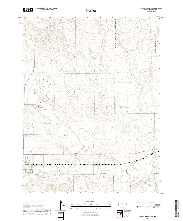
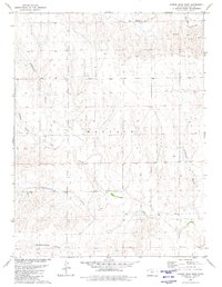
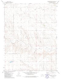
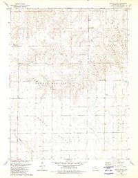
2022 Map of Sharon Springs East
USGS Topo · Published 2022This historical map portrays the area of Sharon Springs East in 2022, primarily covering Wallace County. Featuring a scale of 1:24000, this map provides a highly detailed snapshot of the terrain, roads, buildings, counties, and historical landmarks in the Sharon Springs East region at the time. Published in 2022, it is the sole known edition of this map.
Find a feature on this map
29 named features on this map. Tap any name to fly to it.
Don’t see what you’re looking for? This feature index may not catch every label — zoom into the map to look around manually.
Map Details
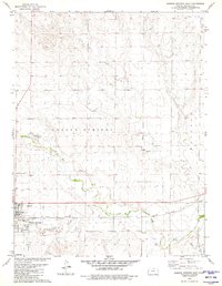
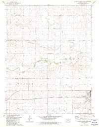
Editions of this 2022 Sharon Springs East Map
This is the sole edition of this map. No revisions or reprints were ever made.
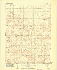
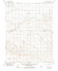
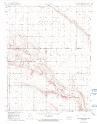
Historical Maps of Sharon Springs Township Through Time
25 maps found
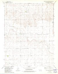
1959 Harris Draw
Wallace County, KS
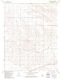
1959 Horsethief Draw
Wallace County, KS
1968 West Bethany Church
Wallace County, KS
1979 Harris Draw East
Wallace County, KS
1979 Harris Draw West
Wallace County, KS
1979 Harrison Flats
Wallace County, KS
1979 Horsethief Draw SE
Wallace County, KS
1979 Horsethief Draw
Wallace County, KS
1979 Sharon Springs East
Wallace County, KS
1979 Sharon Springs West
Wallace County, KS
1979 South Flats
Wallace County, KS
1979 Spring Valley Ranch
Wallace County, KS
1979 Weskan NW
Wallace County, KS
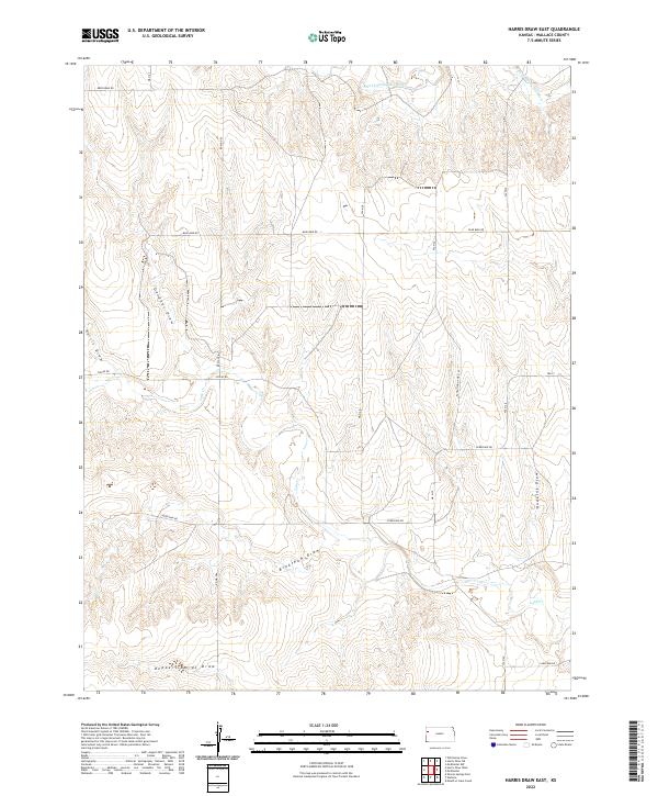
2022 Harris Draw East
Wallace County, KS
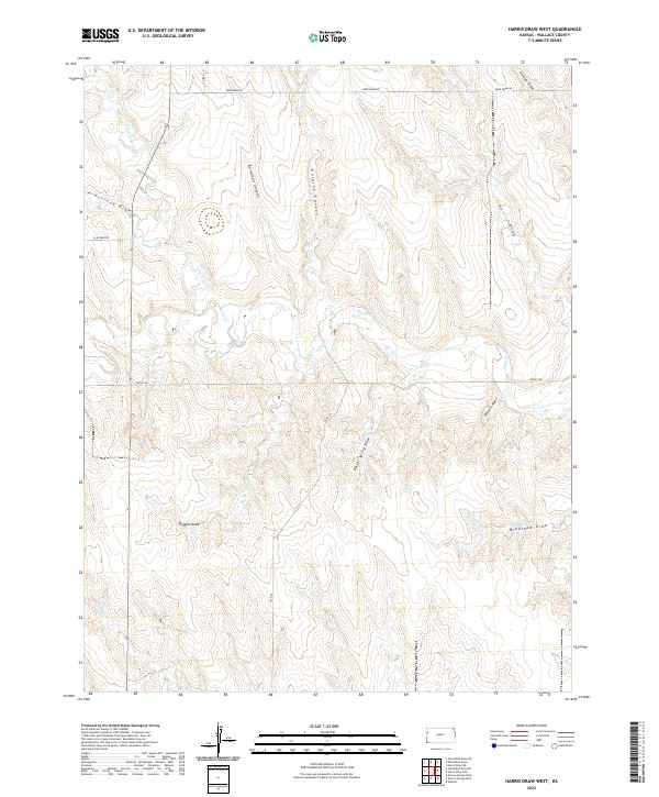
2022 Harris Draw West
Wallace County, KS
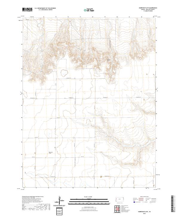
2022 Harrison Flats
Wallace County, KS
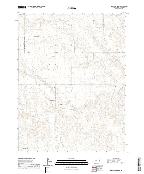
2022 Horsethief Draw SE
Wallace County, KS
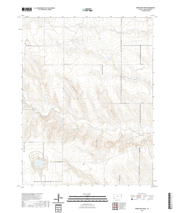
2022 Horsethief Draw
Wallace County, KS
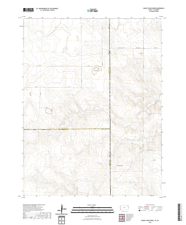
2022 Mount Sunflower
Wallace County, KS
2022 Sharon Springs East
Wallace County, KS
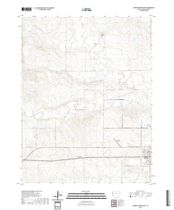
2022 Sharon Springs West
Wallace County, KS
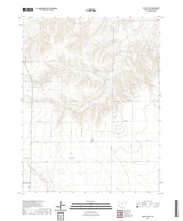
2022 South Flats
Wallace County, KS
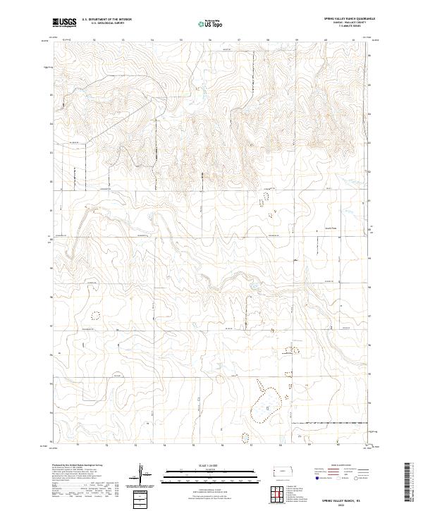
2022 Spring Valley Ranch
Wallace County, KS
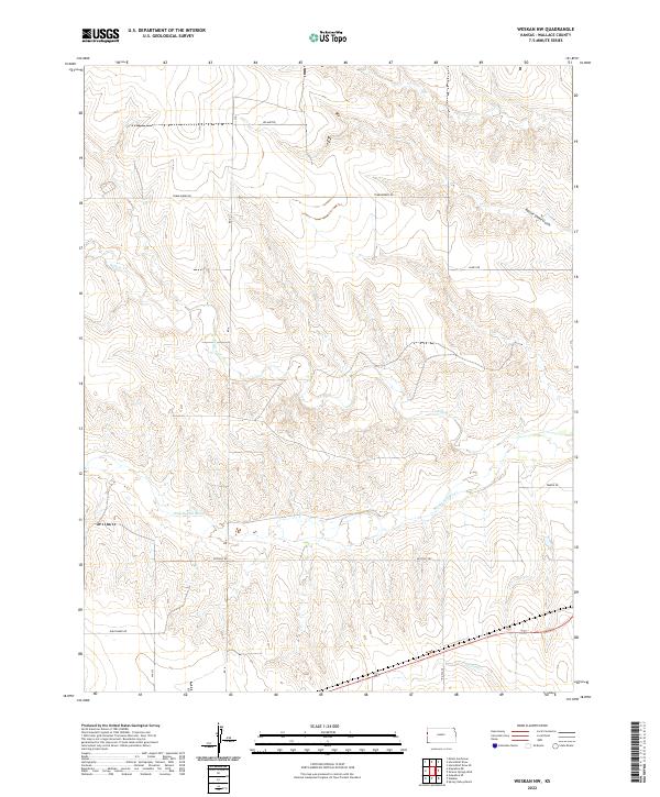
2022 Weskan NW
Wallace County, KS
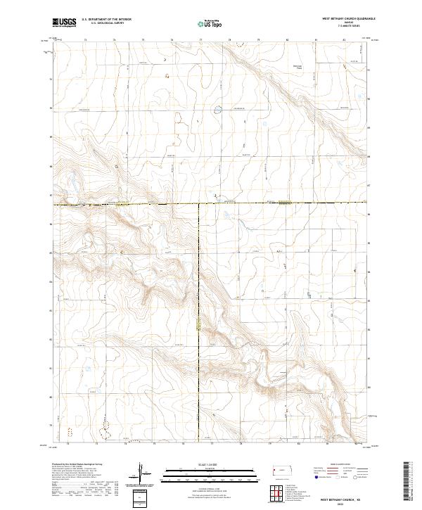
2022 West Bethany Church
Wallace County, KS
Featured Locations
- United States
- Wallace County, KS
- Sharon Springs Township, KS
- Wallace Township, KS
- Sharon Springs, Sharon Springs Township