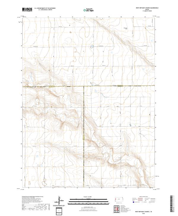
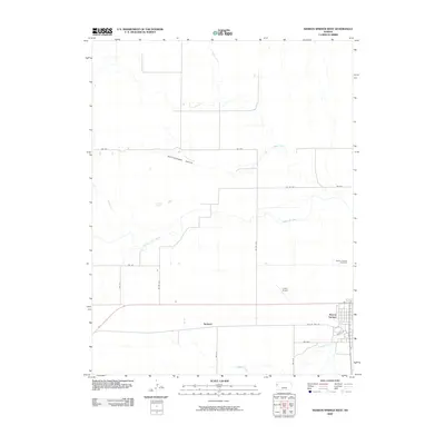
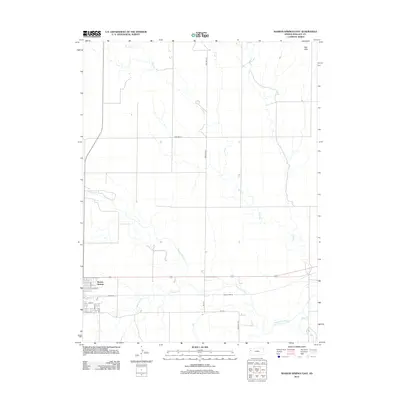
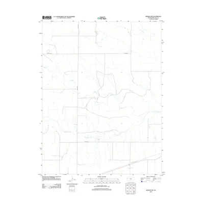
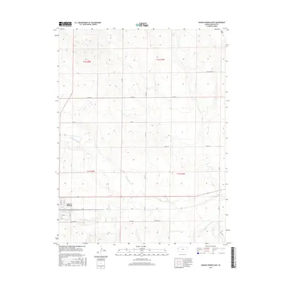
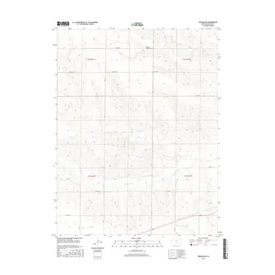
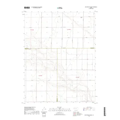
2022 Map of West Bethany Church
USGS Topo · Published 2022About this map
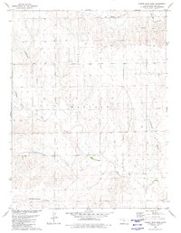
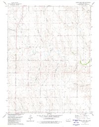
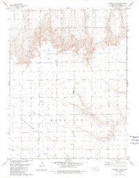
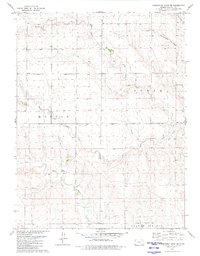
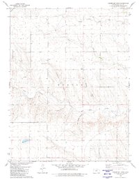
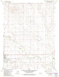
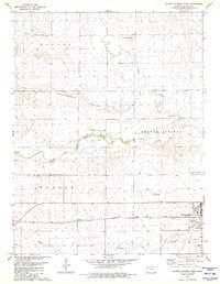
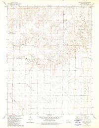
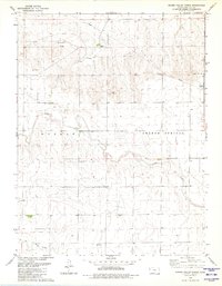
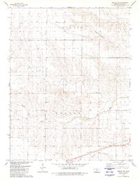
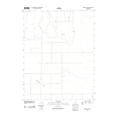
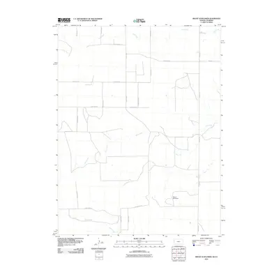
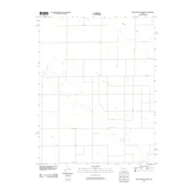
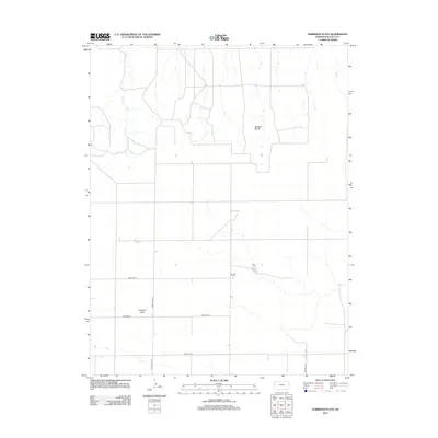
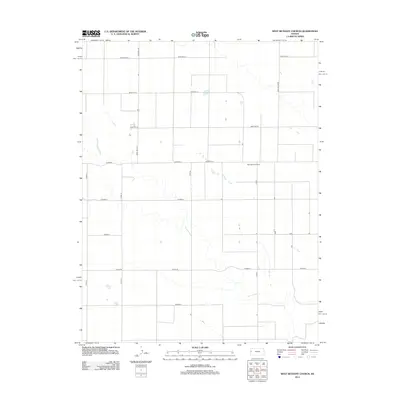
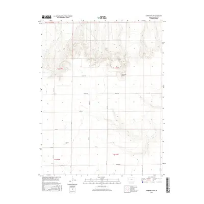
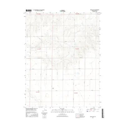
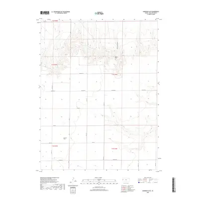
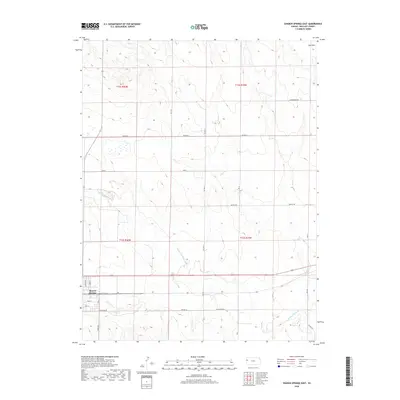
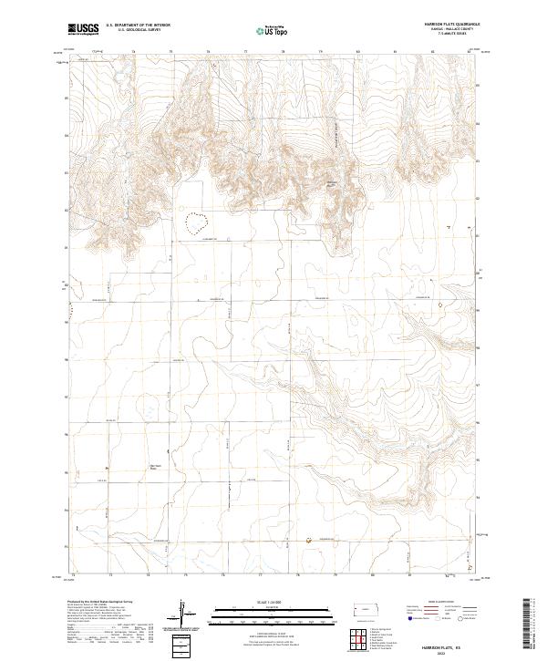
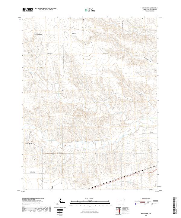
Harrison Flats dominates the northern landscape of this High Plains quadrangle, where three Kansas counties—Wallace, Greeley, and Wichita—converge. The area is defined by a sparse but systematic grid of rural roads, many bearing descriptive local names like Dusty Rd, Bumpy Rd, and Crosswind Rd. These names suggest the practical realities of travel across this open terrain, where the section lines of the Public Land Survey System dictate the movement of people and commerce. The map documents a strictly agricultural environment, where township boundaries like t15s r39w and t16s r38w provide the primary structural framework for land ownership and management. While large-scale topographical features are few, the network of numbered county roads, including Co Rd 1951 and Co Rd 23, provides essential data for researchers tracing modern property lines or the evolution of transportation in this tri-county border region.
Find a feature on this map
33 named features on this map. Tap any name to fly to it.
Don’t see what you’re looking for? This feature index may not catch every label — zoom into the map to look around manually.
Map Details
Editions of this 2022 West Bethany Church Map
This is the sole edition of this map. No revisions or reprints were ever made.
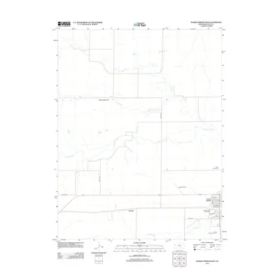
Historical Maps of Harrison Township Through Time
73 maps found
1959 Harris Draw
Wallace County, KS
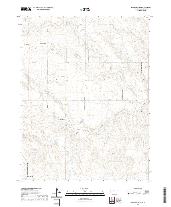
1959 Horsethief Draw
Wallace County, KS
1968 West Bethany Church
Wallace County, KS
1979 Harris Draw East
Wallace County, KS
1979 Harris Draw West
Wallace County, KS
1979 Harrison Flats
Wallace County, KS
1979 Horsethief Draw SE
Wallace County, KS
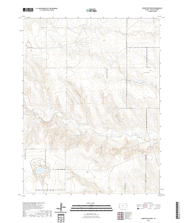
1979 Horsethief Draw
Wallace County, KS
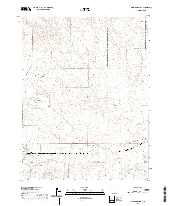
1979 Sharon Springs East
Wallace County, KS
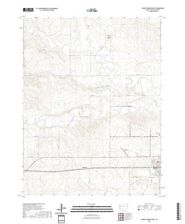
1979 Sharon Springs West
Wallace County, KS
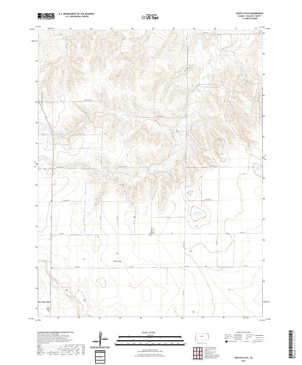
1979 South Flats
Wallace County, KS
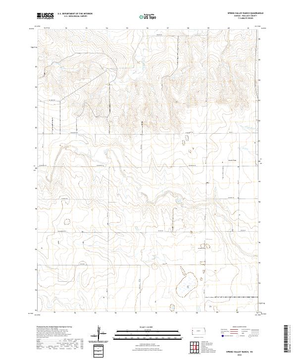
1979 Spring Valley Ranch
Wallace County, KS
1979 Weskan NW
Wallace County, KS
2009 Harris Draw East
Wallace County, KS
2009 Harris Draw West
Wallace County, KS
2009 Harrison Flats
Wallace County, KS
2009 Horsethief Draw SE
Wallace County, KS
2009 Horsethief Draw
Wallace County, KS
2009 Sharon Springs East
Wallace County, KS
2009 Sharon Springs West
Wallace County, KS
2009 South Flats
Wallace County, KS
2009 Spring Valley Ranch
Wallace County, KS
2009 Weskan NW
Wallace County, KS
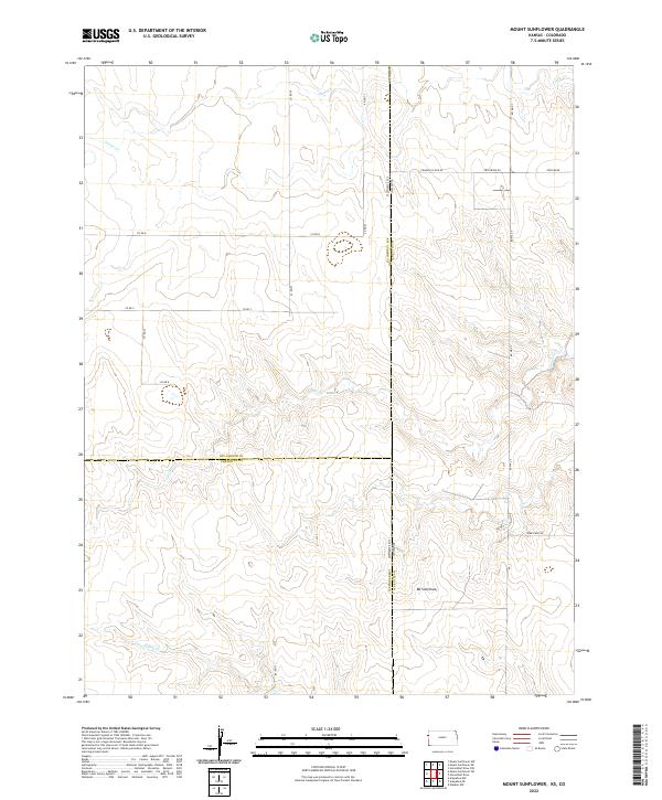
2010 Mount Sunflower
Wallace County, KS
2010 West Bethany Church
Wallace County, KS
2012 Harris Draw East
Wallace County, KS
2012 Harris Draw West
Wallace County, KS
2012 Harrison Flats
Wallace County, KS
2012 Horsethief Draw SE
Wallace County, KS
2012 Horsethief Draw
Wallace County, KS
2012 Mount Sunflower
Wallace County, KS
2012 Sharon Springs East
Wallace County, KS
2012 Sharon Springs West
Wallace County, KS
2012 South Flats
Wallace County, KS
2012 Spring Valley Ranch
Wallace County, KS
2012 Weskan NW
Wallace County, KS
2012 West Bethany Church
Wallace County, KS
2015 Harris Draw East
Wallace County, KS
2015 Harris Draw West
Wallace County, KS
2015 Harrison Flats
Wallace County, KS
2015 Horsethief Draw SE
Wallace County, KS
2015 Horsethief Draw
Wallace County, KS
2015 Mount Sunflower
Wallace County, KS
2015 Sharon Springs East
Wallace County, KS
2015 Sharon Springs West
Wallace County, KS
2015 South Flats
Wallace County, KS
2015 Spring Valley Ranch
Wallace County, KS
2015 Weskan NW
Wallace County, KS
2015 West Bethany Church
Wallace County, KS
2018 Harris Draw East
Wallace County, KS
2018 Harris Draw West
Wallace County, KS
2018 Harrison Flats
Wallace County, KS
2018 Horsethief Draw SE
Wallace County, KS
2018 Horsethief Draw
Wallace County, KS
2018 Mount Sunflower
Wallace County, KS
2018 Sharon Springs East
Wallace County, KS
2018 Sharon Springs West
Wallace County, KS
2018 South Flats
Wallace County, KS
2018 Spring Valley Ranch
Wallace County, KS
2018 Weskan NW
Wallace County, KS
2018 West Bethany Church
Wallace County, KS
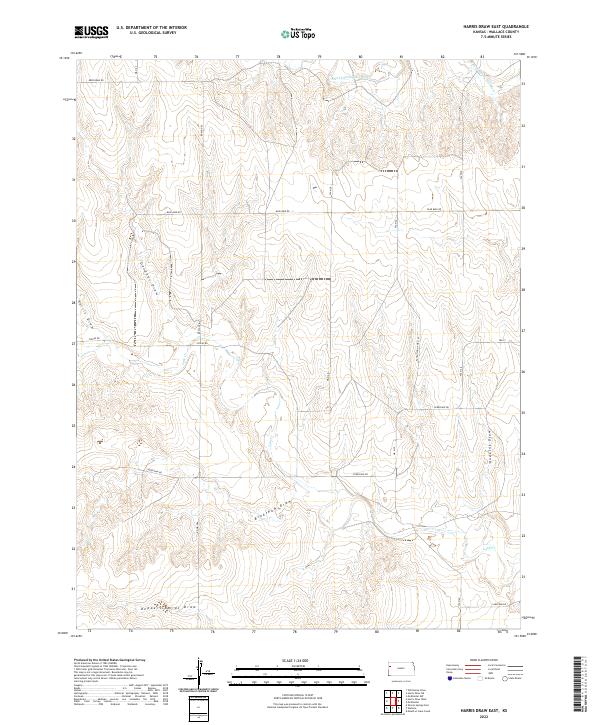
2022 Harris Draw East
Wallace County, KS
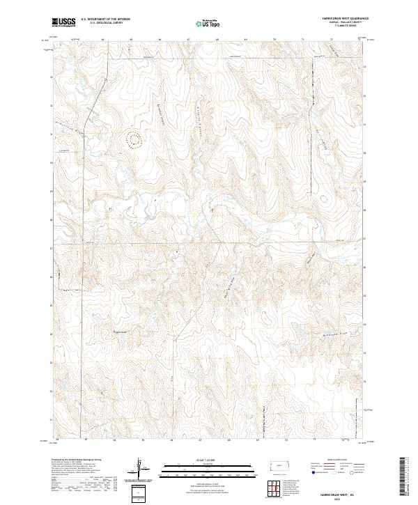
2022 Harris Draw West
Wallace County, KS
2022 Harrison Flats
Wallace County, KS
2022 Horsethief Draw SE
Wallace County, KS
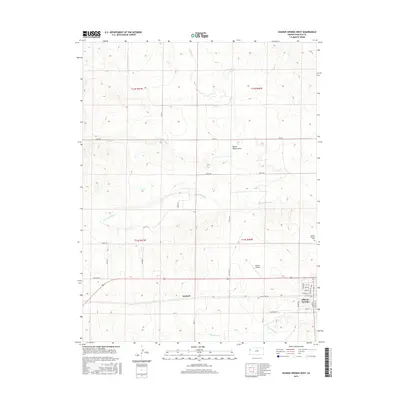
2022 Horsethief Draw
Wallace County, KS
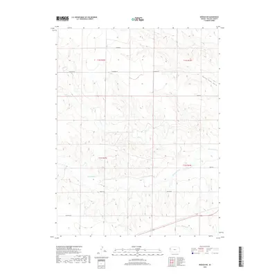
2022 Mount Sunflower
Wallace County, KS
2022 Sharon Springs East
Wallace County, KS
2022 Sharon Springs West
Wallace County, KS
2022 South Flats
Wallace County, KS
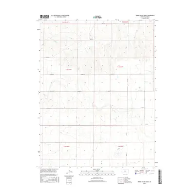
2022 Spring Valley Ranch
Wallace County, KS
2022 Weskan NW
Wallace County, KS
2022 West Bethany Church
Wallace County, KS