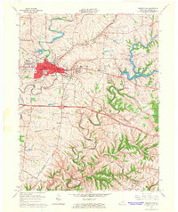
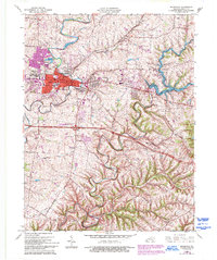
1965 Map of Shelbyville
USGS Topo · Published 1966About this map
The county seat of Shelbyville dominates the western half of this mid-1960s survey, showing its growth through residential developments like Middletown Heights and Snow Hill. The landscape is a mix of urban center and rural creek valleys, with the Southern and Louisville and Nashville railroads providing the industrial backbone for the region. To the east, the creation of Guist Creek Lake and the adjacent Guist Creek Lake State Park highlights the mid-century focus on water management and recreation.
Find a feature on this map
50 named features on this map. Tap any name to fly to it.
Don’t see what you’re looking for? This feature index may not catch every label — zoom into the map to look around manually.
Map Details
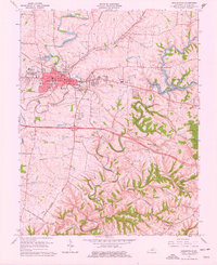
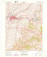
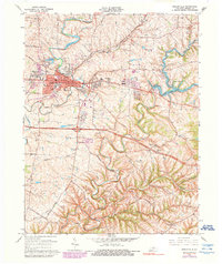
Editions of this 1965 Shelbyville Map
5 editions found
Other maps of this area

1923 · Waddy
USGS Topo · 1:48,000

1925 · Mount Eden
USGS Topo · 1:48,000

1927 · Mount Eden
USGS Topo · 1:62,500

1928 · New Castle
USGS Topo · 1:48,000

1929 · Taylorsville
USGS Topo · 1:62,500

1932 · New Castle
USGS Topo · 1:62,500

1932 · La Grange
USGS Topo · 1:62,500

1954 · Ballardsville
USGS Topo · 1:24,000
1954 · Glensboro
USGS Topo · 1:24,000

1954 · Taylorsville
USGS Topo · 1:24,000