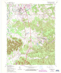
1962 Map of Shepherdsville
USGS Topo · Published 1987About this map
Shepherdsville serves as the focal point of this Bullitt County landscape, situated where the Kentucky Turnpike and the L & N RR corridor intersect the winding course of the Salt River. The map illustrates a region in transition during the mid-to-late 20th century, balancing growing suburban clusters with the enduring rural patterns of central Kentucky. To the south, the expansive Bernheim Forest dominates the terrain, featuring notable landmarks like Lake Nevin and Britts Knob.
Find a feature on this map
54 named features on this map. Tap any name to fly to it.
Don’t see what you’re looking for? This feature index may not catch every label — zoom into the map to look around manually.
Map Details
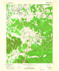
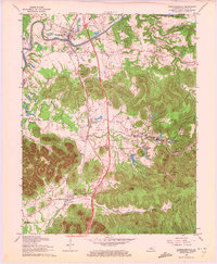
Editions of this 1962 Shepherdsville Map
3 editions found
Other maps of this area

1907 · Louisville
USGS Topo · 1:62,500

1909 · Kosmosdale
USGS Topo · 1:48,000

1912 · Kosmosdale
USGS Topo · 1:62,500

1936 · Vine Grove
USGS Topo · 1:62,500

1943 · Vine Grove
USGS Topo · 1:62,500

1946 · Pitts Point
USGS Topo · 1:24,000

1946 · Colesburg
USGS Topo · 1:24,000

1946 · Vine Grove
USGS Topo · 1:62,500

1949 · Cravens
USGS Topo · 1:24,000

1949 · Shepherdsville
USGS Topo · 1:24,000