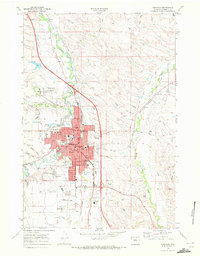
1968 Map of Sheridan
USGS Topo · Published 1972About this map
Sheridan appears in this late 1960s survey as a flourishing hub in northern Wyoming, centered where Goose Creek and Little Goose Creek converge. The urban landscape is marked by substantial public institutions, including the prominent Veterans Adm Hospital north of the city and the Sheridan Jr College to the south. Historically significant landmarks are well-represented, most notably the Sheridan Inn Nat Hist Landmark, a remnant of the era when the railroad arrival transformed the region's economy.
Find a feature on this map
56 named features on this map. Tap any name to fly to it.
Don’t see what you’re looking for? This feature index may not catch every label — zoom into the map to look around manually.
Map Details
Editions of this 1968 Sheridan Map
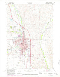
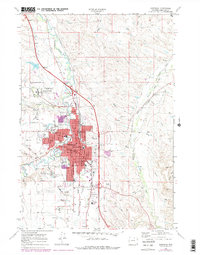
3 editions found
Other maps of this area

1895 · Dayton
USGS Topo · 1:125,000

1901 · Dayton
USGS Topo · 1:125,000

1909 · Sheridan
USGS Topo · 1:125,000

1911 · Sheridan
USGS Topo · 1:125,000

1955 · Sheridan
USGS Topo · 1:250,000

1958 · Sheridan
USGS Topo · 1:250,000

1962 · Sheridan
USGS Topo · 1:250,000
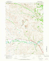
1964 · Monarch
USGS Topo · 1:24,000
1964 · Hultz Draw
USGS Topo · 1:24,000
1964 · Beaver Creek Hills
USGS Topo · 1:24,000