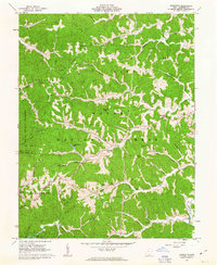
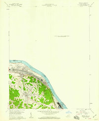
1961 Map of Sherritts
USGS Topo · Published 1963About this map
Wayne National Forest dominates the landscape of Lawrence County in the early 1960s, a region defined by steep ridges and a complex network of hollows. The settlement at Sherritts serves as a central point in an area where resource extraction and conservation meet. Evidence of the coal industry is visible through multiple Mines and a Tipple located near the eastern boundary, while conservation efforts are anchored by Dean State Forest and the recreational waters of Lake Vesuvius.
Find a feature on this map
79 named features on this map. Tap any name to fly to it.
Don’t see what you’re looking for? This feature index may not catch every label — zoom into the map to look around manually.
Map Details
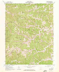
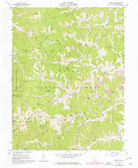
Editions of this 1961 Sherritts Map
3 editions found
Other maps of this area

1898 · Ironton
USGS Topo · 1:62,500

1900 · Ironton
USGS Topo · 1:62,500

1906 · Bidwell
USGS Topo · 1:62,500

1906 · Athalia
USGS Topo · 1:62,500

1908 · Bidwell
USGS Topo · 1:62,500

1908 · Athalia
USGS Topo · 1:62,500

1912 · Oak Hill
USGS Topo · 1:62,500
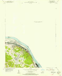
1953 · Ironton
USGS Topo · 1:24,000

1957 · Huntington
USGS Topo · 1:250,000
1958 · Ironton
USGS Topo · 1:24,000