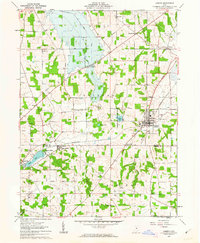
1961 Map of Shreve
USGS Topo · Published 1963About this map
The agricultural landscape of Wayne and Holmes counties is defined by a dense network of country churches and small rural hubs like Shreve and Big Prairie. This survey captures the region as it balanced long-standing rail dependence with post-war infrastructure changes, including the Pennsylvania line and a proposed highway route cutting through the eastern hills. The transition from industrial transport to recreational conservation is visible near Shreve Lake Wildlife Area and Odell Lake, where Lakeland Beach suggests the area's role as a local destination.
Find a feature on this map
40 named features on this map. Tap any name to fly to it.
Don’t see what you’re looking for? This feature index may not catch every label — zoom into the map to look around manually.
Map Details
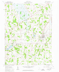
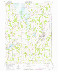
Editions of this 1961 Shreve Map
3 editions found
Other maps of this area

1901 · Wooster
USGS Topo · 1:62,500

1903 · Wooster
USGS Topo · 1:62,500

1906 · West Salem
USGS Topo · 1:62,500

1908 · West Salem
USGS Topo · 1:62,500

1912 · Loudonville
USGS Topo · 1:62,500

1914 · Loudonville
USGS Topo · 1:62,500

1915 · Millersburg
USGS Topo · 1:62,500

1943 · Millersburg
USGS Topo · 1:62,500

1943 · Loudonville
USGS Topo · 1:62,500

1950 · Marion
USGS Topo · 1:250,000