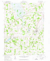
1961 Map of Shreve
USGS Topo · Published 1963About this map
Shreve serves as the primary hub of this early 1960s survey, situated along the Pennsylvania railroad line. The landscape is defined by the transition between the agricultural upland of Clinton and Ripley townships and the glacial kettle lakes of the south. Water features such as Odell Lake, Brown Lake, and the managed Shreve Lake Wildlife Area dominate the topography, while the boundary of the Wayne and Holmes county line cuts through the clustered settlements of Big Prairie and Lakeland Beach.
Find a feature on this map
34 named features on this map. Tap any name to fly to it.
Don’t see what you’re looking for? This feature index may not catch every label — zoom into the map to look around manually.
Map Details
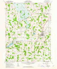
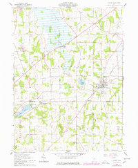
Editions of this 1961 Shreve Map
3 editions found
Other maps of this area

1901 · Wooster
USGS Topo · 1:62,500
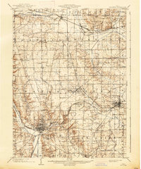
1903 · Wooster
USGS Topo · 1:62,500
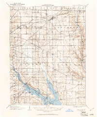
1906 · West Salem
USGS Topo · 1:62,500
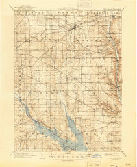
1908 · West Salem
USGS Topo · 1:62,500
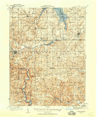
1912 · Loudonville
USGS Topo · 1:62,500
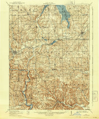
1914 · Loudonville
USGS Topo · 1:62,500
1915 · Millersburg
USGS Topo · 1:62,500
1943 · Millersburg
USGS Topo · 1:62,500
1943 · Loudonville
USGS Topo · 1:62,500

1950 · Marion
USGS Topo · 1:250,000