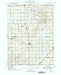
1947 Map of Sibley
USGS Topo · Published 1984About this map
Sibley serves as a central hub for the surrounding agricultural prairie, where the Wabash and Illinois Central railroads intersect. This 1947 topographic study captures a dense network of one-room schoolhouses that define the local social geography, including Bee Hive Sch, Allen Sch, and Happy Home Sch. The landscape is largely defined by the headwaters of several drainages, such as the Mackinaw River and South Fork Vermilion River, which originate in the glacial topography of Belle Prairie.
Find a feature on this map
73 named features on this map. Tap any name to fly to it.
Don’t see what you’re looking for? This feature index may not catch every label — zoom into the map to look around manually.
Map Details
Editions of this 1947 Sibley Map
2 editions found
Other maps of this area

1924 · Paxton
USGS Topo · 1:62,500

1927 · Paxton
USGS Topo · 1:62,500

1928 · Gibson City
USGS Topo · 1:62,500

1935 · Pontiac
USGS Topo · 1:62,500

1939 · Pontiac
USGS Topo · 1:62,500

1944 · Piper City
USGS Topo · 1:48,000

1947 · Piper City
USGS Topo · 1:62,500

1947 · Sibley
USGS Topo · 1:62,500

1947 · Cullom
USGS Topo · 1:62,500

1948 · Buckley
USGS Topo · 1:62,500