
1955 Map of Silsbee
USGS Topo · Published 1956About this map
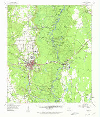
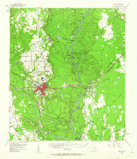
The Neches River forms a complex, winding boundary between Hardin and Jasper counties, defining a landscape of dense bottomlands and oxbow lakes like Gore Lake and Lone Pine Ridge Lake. In the mid-1950s, the regional economy was driven by the North Silsbee Oil Field and West Silsbee Oil Field, with the city of Silsbee serving as a primary hub for rail and road transport. The Gulf Colorado and Santa Fe railroad crosses the terrain, connecting timber and industrial sites such as Evadale and Lillard. Beyond the industrial centers, local life is anchored by family and community landmarks like Gore Cem and All Faiths Tabernacle. The intricate network of waterways, including Village Creek and Mill Creek, underscores the reliance on natural drainage and the Beaumont Canal for water management in this heavily forested part of East Texas.
Find a feature on this map
117 named features on this map. Tap any name to fly to it.
Don’t see what you’re looking for? This feature index may not catch every label — zoom into the map to look around manually.
Map Details
Editions of this 1955 Silsbee Map
Other maps of this area

1926 · Lakeview
USGS Topo · 1:24,000

1926 · Texla
USGS Topo · 1:24,000

1932 · Beaumont
USGS Topo · 1:62,500

1943 · Texla
USGS Topo · 1:24,000

1952 · Lake Charles
USGS Topo · 1:250,000

1954 · Lake Charles
USGS Topo · 1:250,000

1954 · Beaumont
USGS Topo · 1:250,000

1955 · Kountze
USGS Topo · 1:62,500

1955 · Bessmay
USGS Topo · 1:62,500

1955 · Sour Lake
USGS Topo · 1:62,500