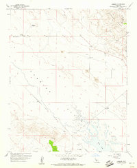
1959 Map of Simmler
USGS Topo · Published 1961About this map
Carrizo Plain and the foothills of the Temblor Range define the landscape of this 1959 survey along the San Luis Obispo and Kern County line. The settlement of Simmler serves as a local hub, featuring a Community Hall and the Goodwin Ranch Airport to the south. The arid character of the basin is reflected in the numerous wells and isolated water sources like Thompson Spring and the edges of the alkaline Soda Lake. Economic activity is evidenced by several excavations labeled Strip Mine, particularly along the higher elevations of the range. The map also records a network of primitive transportation routes, including a Jeep Trail winding through the hills, while high points like VABM Turkey 2819 provide surveyed landmarks for this high-desert environment.
Find a feature on this map
15 named features on this map. Tap any name to fly to it.
Don’t see what you’re looking for? This feature index may not catch every label — zoom into the map to look around manually.
Map Details
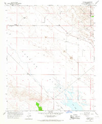
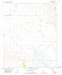
Editions of this 1959 Simmler Map
3 editions found
Other maps of this area

1912 · McKittrick
USGS Topo · 1:125,000

1932 · La Panza
USGS Topo · 1:48,000

1935 · La Panza
USGS Topo · 1:62,500

1936 · La Panza
USGS Topo · 1:62,500

1937 · Branch Mtn
USGS Topo · 1:48,000

1941 · Caliente Mountain
USGS Topo · 1:62,500

1942 · Branch Mountain
USGS Topo · 1:62,500

1942 · Caliente Mtn
USGS Topo · 1:62,500

1943 · Simmler
USGS Topo · 1:62,500

1943 · Caliente Mtn.
USGS Topo · 1:62,500