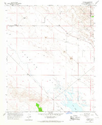
1959 Map of Simmler
USGS Topo · Published 1967About this map
Soda Lake sits at the heart of this dry, high-elevation landscape, where the expansive Carrizo Plain meets the base of the Temblor Range. The small settlement of Simmler serves as a remote outpost in this part of San Luis Obispo County, featuring a Community Hall and access to local water sources like Thompson Spring. The map documents a period when rural utility was prioritized over dense development, shown through the scattered Strip Mine operations and the presence of the Goodwin Ranch Airport in the southern reaches.
Find a feature on this map
15 named features on this map. Tap any name to fly to it.
Don’t see what you’re looking for? This feature index may not catch every label — zoom into the map to look around manually.
Map Details
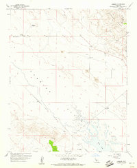
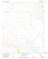
Editions of this 1959 Simmler Map
3 editions found
Other maps of this area

1912 · McKittrick
USGS Topo · 1:125,000

1932 · La Panza
USGS Topo · 1:48,000

1935 · La Panza
USGS Topo · 1:62,500

1936 · La Panza
USGS Topo · 1:62,500

1937 · Branch Mtn
USGS Topo · 1:48,000

1941 · Caliente Mountain
USGS Topo · 1:62,500

1942 · Branch Mountain
USGS Topo · 1:62,500

1942 · Caliente Mtn
USGS Topo · 1:62,500

1943 · Simmler
USGS Topo · 1:62,500

1943 · Caliente Mtn.
USGS Topo · 1:62,500