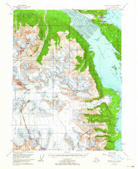
1954 Map of Skagway A-2
USGS Topo · Published 1964About this map
Haines and Port Chilkoot stand as the primary centers of human activity at the head of the Chilkat Inlet in this mid-century survey. The landscape is defined by the massive glacial tongues of the Garrison Glacier, Rainbow Glacier, and the sprawling Davidson Glacier, which push toward the tidewaters. Along the coast, the map reveals industrial and maritime landmarks including a Sawmill and a Cannery at Letnikof Cove, while Pyramid Harbor serves as a key navigation point.
Find a feature on this map
35 named features on this map. Tap any name to fly to it.
Don’t see what you’re looking for? This feature index may not catch every label — zoom into the map to look around manually.
Map Details
Editions of this 1954 Skagway A-2 Map
3 editions found

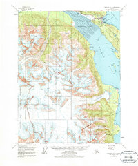
Other maps of this area

1948 · Skagway A-1
USGS Topo · 1:63,360

1949 · Juneau D-6
USGS Topo · 1:63,360

1949 · Juneau D-5
USGS Topo · 1:63,360

1949 · Skagway B-1
USGS Topo · 1:63,360

1951 · Juneau
USGS Topo · 1:250,000

1951 · Skagway A-1
USGS Topo · 1:63,360

1951 · Skagway B-1
USGS Topo · 1:63,360

1952 · Skagway
USGS Topo · 1:250,000

1954 · Skagway B-2
USGS Topo · 1:63,360

1954 · Skagway A-3
USGS Topo · 1:63,360