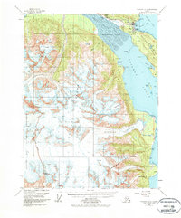
1954 Map of Skagway A-2
USGS Topo · Published 1978About this map
Haines and the surrounding waterfront of the Chilkat Peninsula are the focal points of this mid-century maritime and glacial survey. The map details the transition from the McClellan Flats at the mouth of the Chilkat River to the deep waters of Chilkoot Inlet. Settlement patterns are concentrated near Deshu and Port Chilkoot, while the southern reaches of the peninsula show more industrial or seasonal sites like the Cannery and Lehunua.
Find a feature on this map
39 named features on this map. Tap any name to fly to it.
Don’t see what you’re looking for? This feature index may not catch every label — zoom into the map to look around manually.
Map Details
Editions of this 1954 Skagway A-2 Map
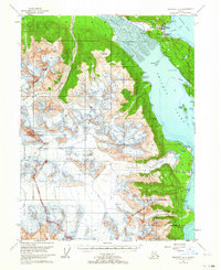
3 editions found

Other maps of this area

1948 · Skagway A-1
USGS Topo · 1:63,360

1949 · Juneau D-6
USGS Topo · 1:63,360

1949 · Juneau D-5
USGS Topo · 1:63,360

1949 · Skagway B-1
USGS Topo · 1:63,360

1951 · Juneau
USGS Topo · 1:250,000

1951 · Skagway A-1
USGS Topo · 1:63,360

1951 · Skagway B-1
USGS Topo · 1:63,360

1952 · Skagway
USGS Topo · 1:250,000

1954 · Skagway B-2
USGS Topo · 1:63,360

1954 · Skagway A-3
USGS Topo · 1:63,360