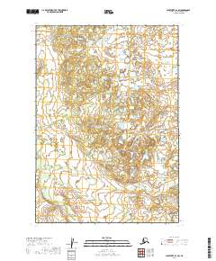
2019 Map of Sleetmute B-1 SW
USGS Topo · Published 2019About this map
Uninhabited terrain in the Bethel Census Area is meticulously documented in this 2019 survey, defined by complex hydrography and varying elevations. The landscape is organized by the Public Land Survey System, with boundaries clearly marking the transitions between townships such as t15n r40w and t15n r39w. The map depicts an intricate network of wetlands and small water bodies that characterize this part of the Alaska interior, though no named settlements or man-made structures appear within these coordinates. This specific quadrant highlights the natural drainage patterns and topographical contours that remain untouched by modern road infrastructure or permanent development.
Find a feature on this map
6 named features on this map. Tap any name to fly to it.
Don’t see what you’re looking for? This feature index may not catch every label — zoom into the map to look around manually.
Map Details
Editions of this 2019 Sleetmute B-1 SW Map
This is the sole edition of this map. No revisions or reprints were ever made.
Other maps of this area

1950 · Sleetmute
USGS Topo · 1:250,000

1954 · Sleetmute
USGS Topo · 1:250,000

1954 · Sleetmute B-2
USGS Topo · 1:63,360
1954 · Sleetmute A-1
USGS Topo · 1:63,360
1954 · Sleetmute A-2
USGS Topo · 1:63,360
1954 · Sleetmute B-1
USGS Topo · 1:63,360
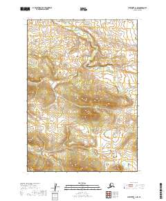
2019 · Sleetmute A-1 NW
USGS Topo · 1:25,000
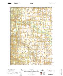
2019 · Sleetmute B-2 SE
USGS Topo · 1:25,000
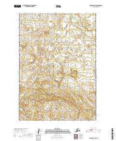
2019 · Sleetmute B-1 SE
USGS Topo · 1:25,000
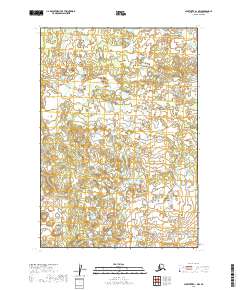
2019 · Sleetmute B-1 NW
USGS Topo · 1:25,000