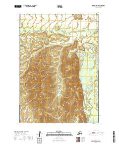
2019 Map of Sleetmute B-4 SE
USGS Topo · Published 2019About this map
The Holitna River meanders through this portion of the Bethel Census Area, defining the eastern landscape with its complex braids and oxbow formations. To the west, the Kulukbuk Hills rise as a prominent topographic feature, providing a stark contrast to the low-lying river valley. In the northern reaches of the quadrangle, the Itulilik Cr cuts through the terrain, contributing to the drainage network that feeds the larger river system. This map captures a remote stretch of the Alaska interior, where the relationship between the rising upland slopes and the shifting river channels dictates the character of the land. The absence of roads or permanent settlements emphasizes the wilderness state of the region during this 2019 survey, focusing instead on the natural geographic boundaries of the t14n r44w and t15n r45w townships.
Find a feature on this map
9 named features on this map. Tap any name to fly to it.
Don’t see what you’re looking for? This feature index may not catch every label — zoom into the map to look around manually.
Map Details
Editions of this 2019 Sleetmute B-4 SE Map
This is the sole edition of this map. No revisions or reprints were ever made.
Other maps of this area

1950 · Sleetmute
USGS Topo · 1:250,000

1954 · Sleetmute
USGS Topo · 1:250,000

1954 · Sleetmute B-3
USGS Topo · 1:63,360
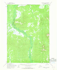
1954 · Sleetmute A-3
USGS Topo · 1:63,360

1954 · Sleetmute B-4
USGS Topo · 1:63,360
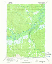
1954 · Sleetmute A-4
USGS Topo · 1:63,360
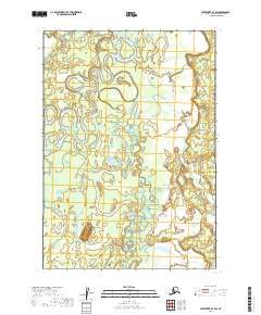
2019 · Sleetmute B-3 SW
USGS Topo · 1:25,000
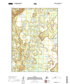
2019 · Sleetmute B-3 NW
USGS Topo · 1:25,000
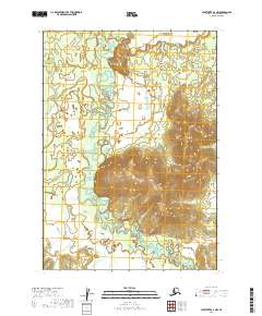
2019 · Sleetmute A-3 NW
USGS Topo · 1:25,000
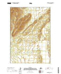
2019 · Sleetmute B-4 NE
USGS Topo · 1:25,000