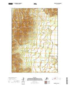
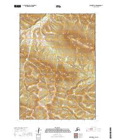
2019 Map of Sleetmute C-4 SE
USGS Topo · Published 2019About this map
Red Mtn dominates the western topography of this Alaskan wilderness within the Bethel Census Area. The landscape is characterized by extensive wetlands and complex drainage patterns, with the high relief of the mountain standing in sharp contrast to the saturated lowlands to the east. This 2019 survey, produced by the U.S. Geological Survey, utilizes high-resolution data to delineate the intricate hydrological network of this interior region. The map provides a precise record of the Public Land Survey System divisions, including t18n r44w and t17n r43w, reflecting the systematic administrative framework applied to this undeveloped terrain. This area remains primarily a natural landscape of water and high ground, defined by the singular prominence of its central peak.
Find a feature on this map
6 named features on this map. Tap any name to fly to it.
Don’t see what you’re looking for? This feature index may not catch every label — zoom into the map to look around manually.
Map Details
Editions of this 2019 Sleetmute C-4 SE Map
This is the sole edition of this map. No revisions or reprints were ever made.
Other maps of this area

1950 · Sleetmute
USGS Topo · 1:250,000

1954 · Sleetmute C-4
USGS Topo · 1:63,360

1954 · Sleetmute C-3
USGS Topo · 1:63,360

1954 · Sleetmute
USGS Topo · 1:250,000

1954 · Sleetmute B-3
USGS Topo · 1:63,360

1954 · Sleetmute B-4
USGS Topo · 1:63,360
2019 · Sleetmute C-3 NW
USGS Topo · 1:25,000
2019 · Sleetmute C-3 SW
USGS Topo · 1:25,000
2019 · Sleetmute B-3 NW
USGS Topo · 1:25,000
2019 · Sleetmute C-4 NW
USGS Topo · 1:25,000