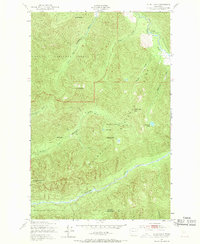
1950 Map of Slide Peak
USGS Topo · Published 1970About this map
Olympic National Park and Olympic National Forest dominate this mid-century wilderness survey, which straddles the boundary between Clallam and Jefferson counties. The landscape is defined by the headwaters of major coastal drainages, including the Soleduck River in the northeast and the Bogachiel River winding through the center. A sparse network of backcountry infrastructure is documented, notably the Hyak Shelter and Twentymile Shelter, alongside the Soleduck Road following the river's path.
Find a feature on this map
24 named features on this map. Tap any name to fly to it.
Don’t see what you’re looking for? This feature index may not catch every label — zoom into the map to look around manually.
Map Details
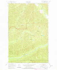
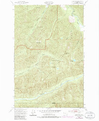
Editions of this 1950 Slide Peak Map
4 editions found
Other maps of this area

1918 · Lake Crescent
USGS Topo · 1:62,500

1922 · Pysht
USGS Topo · 1:62,500

1922 · Lake Crescent
USGS Topo · 1:62,500

1939 · Mount Tom
USGS Topo · 1:62,500

1942 · Pysht
USGS Topo · 1:62,500

1943 · Spruce Mountain
USGS Topo · 1:62,500

1943 · Copalis Beach
USGS Topo · 1:250,000

1950 · Mount Muller
USGS Topo · 1:24,000

1950 · Lake Crescent
USGS Topo · 1:24,000

1950 · Slide Peak
USGS Topo · 1:24,000