
1955 Map of Smeltertown
USGS Topo · Published 1975About this map
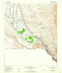
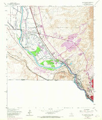
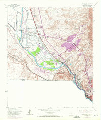
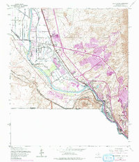
The industrial and borderland character of the Rio Grande valley is strikingly captured in this survey, where the international boundary between the United States and Mexico meets the state lines of Texas and New Mexico. The landscape is dominated by the narrow corridor between the Franklin Mountains and the river, anchored by the community of Smeltertown and the sprawling facilities of El Paso. Significant landmarks of the mid-20th century are evident, including the Sunland Park Racetrack, Sunland Airport, and Camp Zack White. Religious and educational life is well-documented through sites like St Patricks Mission, San Jose Ch, and St Marys Sch. The intricate water management system of the valley is detailed through features such as the Montoya Main Lateral and Nemexas Drain, reflecting the complex irrigation required for this arid region.
Find a feature on this map
37 named features on this map. Tap any name to fly to it.
Don’t see what you’re looking for? This feature index may not catch every label — zoom into the map to look around manually.
Map Details
Editions of this 1955 Smeltertown Map
5 editions found
Other maps of this area

1896 · El Paso
USGS Topo · 1:125,000

1908 · El Paso
USGS Topo · 1:125,000

1917 · Canutillo
USGS Topo · 1:62,500

1919 · Canutillo
USGS Topo · 1:62,500

1939 · Ysleta
USGS Topo · 1:62,500

1941 · El Paso
USGS Topo · 1:31,680

1941 · Ysleta
USGS Topo · 1:62,500

1942 · Fort Bliss
USGS Topo · 1:62,500

1943 · El Paso
USGS Topo · 1:31,680

1945 · Ysleta
USGS Topo · 1:62,500