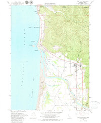
1966 Map of Smith River
USGS Topo · Published 1979About this map
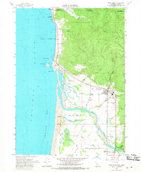
The Smith River corridor and its surrounding coastal lowlands define this northern California landscape during the mid-1960s. The settlement of Smith River serves as the inland hub, while smaller communities like Winton Corners and Tryon Corner are linked by a network of rural roads including Fred D Haight Drive and North Bank Road. The map reveals a complex aquatic environment where the river meets the Pacific Ocean at Pelican Bay, characterized by features like Tillas Island and the Tillas Slough.
Find a feature on this map
57 named features on this map. Tap any name to fly to it.
Don’t see what you’re looking for? This feature index may not catch every label — zoom into the map to look around manually.
Map Details
Editions of this 1966 Smith River Map
2 editions found
Other maps of this area

1929 · Crescent City
USGS Topo · 1:125,000

1945 · Point St. George
USGS Topo · 1:62,500

1949 · Eureka
USGS Topo · 1:250,000

1952 · Crescent City
USGS Topo · 1:62,500

1954 · Coos Bay
USGS Topo · 1:250,000

1954 · Cape Ferrelo
USGS Topo · 1:62,500

1954 · Mt. Emily
USGS Topo · 1:62,500

1956 · Crescent City
USGS Topo · 1:24,000

1956 · Smith River
USGS Topo · 1:24,000

1958 · Eureka
USGS Topo · 1:250,000