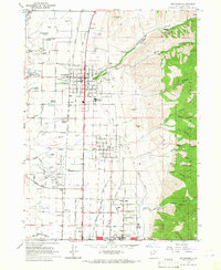
1964 Map of Smithfield
USGS Topo · Published 1966About this map
Agricultural development in the Cache Valley was deeply shaped by the complex water systems visible in the mid-1960s. The landscape is defined by an intricate network of irrigation, including the Logan and Hyde Park Canal and the Pacific Northern Canal, which supported the growing settlements of Smithfield, Hyde Park, and North Logan. The town of Smithfield shows a concentrated grid of homes and a cannery, reflecting the local processing economy of the era.
Find a feature on this map
71 named features on this map. Tap any name to fly to it.
Don’t see what you’re looking for? This feature index may not catch every label — zoom into the map to look around manually.
Map Details
Editions of this 1964 Smithfield Map
4 editions found
Other maps of this area

1914 · Logan
USGS Topo · 1:125,000

1916 · Logan
USGS Topo · 1:125,000

1954 · Ogden
USGS Topo · 1:250,000

1958 · Ogden
USGS Topo · 1:250,000

1960 · Ogden
USGS Topo · 1:250,000

1961 · Logan
USGS Topo · 1:24,000
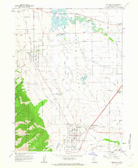
1962 · Wellsville
USGS Topo · 1:24,000
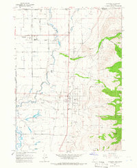
1964 · Richmond
USGS Topo · 1:24,000
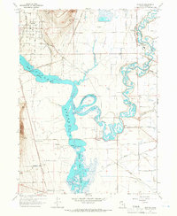
1964 · Newton
USGS Topo · 1:24,000
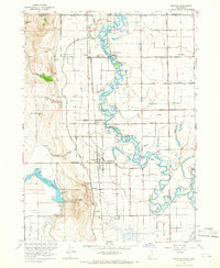
1964 · Trenton
USGS Topo · 1:24,000