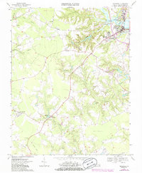
1968 Map of Smithfield
USGS Topo · Published 1986About this map
The Pagan River flows past Smithfield at the northeastern corner of this coastal plain landscape, where tidal marshes and sewage disposal ponds mark the edge of the town's expansion in the late 1960s and early 1980s. Moving inland, the terrain is defined by a dense network of blackwater drainages including Stallings Creek, Comet Swamp, and Champion Swamp. These wetlands isolate higher ground occupied by crossroads communities like Foursquare and Central Hill. The local infrastructure of this era relies on small-scale water management and historical landmarks, such as Courthouse Millpond and Scotts Factory Pond. Evidence of former transportation networks appears south of the Isle of Wight courthouse area, where an Old Railroad Grade cuts across the fields toward Central Hill, while the Ross Pocosin remains a distinctive, low-lying wooded feature to the southeast.
Find a feature on this map
30 named features on this map. Tap any name to fly to it.
Don’t see what you’re looking for? This feature index may not catch every label — zoom into the map to look around manually.
Map Details
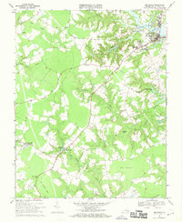
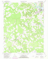
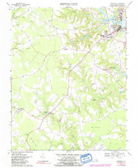
Editions of this 1968 Smithfield Map
4 editions found
Other maps of this area

1907 · Yorktown
USGS Topo · 1:62,500

1919 · Smithfield
USGS Topo · 1:62,500

1919 · Surry
USGS Topo · 1:62,500

1920 · Ivor
USGS Topo · 1:62,500

1943 · Yorktown
USGS Topo · 1:62,500

1943 · Richmond
USGS Topo · 1:250,000

1944 · Windsor
USGS Topo · 1:31,680

1944 · Smithfield
USGS Topo · 1:24,000

1944 · Raynor
USGS Topo · 1:24,000

1944 · Zuni
USGS Topo · 1:24,000