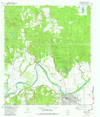
1982 Map of Smithville
USGS Topo · Published 1982About this map
The Colorado River carves a deep horseshoe through the landscape at Hardeman Bend, defining the rural character of this region in the early 1980s. South of the river, the city of Smithville serves as a regional hub, its grid layout flanked by the M-K-T railroad and the Municipal Airport. The map documents a blend of academic and recreational land use, featuring the University of Texas Research Center tucked within the wooded boundaries of Buescher State Park. This terrain is deeply marked by local family history, preserved in numerous burial grounds such as Thompson-Morris Cem and Claiborne Cem. To the north, the winding course of Alum Creek and J D Creek drain the upland hills, while areas like David Bottom suggest the fertile agricultural floodplains that once supported the earlier settlements of Kennedy Bluffs and Crafts Prairie.
Find a feature on this map
43 named features on this map. Tap any name to fly to it.
Don’t see what you’re looking for? This feature index may not catch every label — zoom into the map to look around manually.
Map Details
Editions of this 1982 Smithville Map
2 editions found
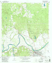
Other maps of this area

1885 · Bastrop
USGS Topo · 1:125,000

1893 · Bastrop
USGS Topo · 1:125,000

1901 · Flatonia
USGS Topo · 1:125,000

1904 · Bastrop
USGS Topo · 1:125,000

1948 · Smithville
USGS Topo · 1:62,500

1948 · Bastrop
USGS Topo · 1:62,500

1950 · Bastrop
USGS Topo · 1:62,500

1950 · Smithville
USGS Topo · 1:62,500

1953 · Seguin
USGS Topo · 1:250,000

1954 · Austin
USGS Topo · 1:250,000