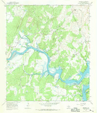
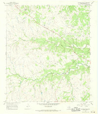
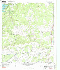
1967 Map of Smithwick
USGS Topo · Published 1969This historical map portrays the area of Smithwick in 1967, primarily covering Burnet County. Featuring a scale of 1:24000, this map provides a highly detailed snapshot of the terrain, roads, buildings, counties, and historical landmarks in the Smithwick region at the time. Published in 1969, it is one of 3 known editions of this map due to revisions or reprints.
Find a feature on this map
29 named features on this map. Tap any name to fly to it.
Don’t see what you’re looking for? This feature index may not catch every label — zoom into the map to look around manually.
Map Details
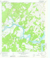
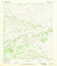
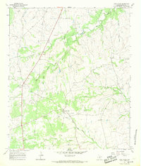
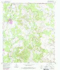
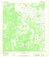
Editions of this 1967 Smithwick Map
3 editions found
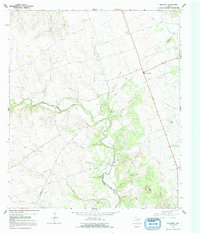
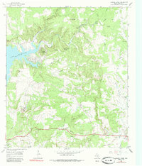
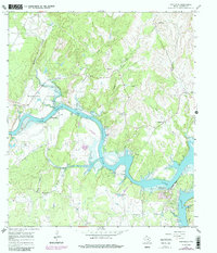
Historical Maps of Marble Falls Through Time
10 maps found
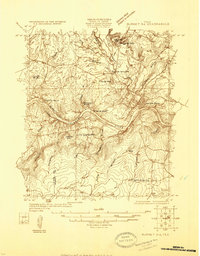
1925 Burnet 3-d
Burnet County, TX
1964 Mahomet
Burnet County, TX
1967 Bachelor Peak
Burnet County, TX
1967 Council Creek
Burnet County, TX
1967 Joppa
Burnet County, TX
1967 Lake Victor
Burnet County, TX
1967 Longhorn Cavern
Burnet County, TX
1967 Mormon Mill
Burnet County, TX
1967 Naruna
Burnet County, TX
1967 Smithwick
Burnet County, TX