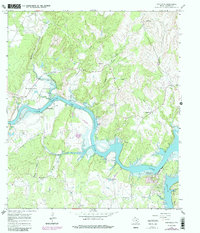
1967 Map of Smithwick
USGS Topo · Published 1987About this map
The Colorado River carves a deep, winding course through this Burnet County landscape, defining the character of Smithwick and the surrounding Hill Country. In the late 1960s, the water levels of Travis Lake were established at a normal pool elevation of 681 feet, creating the intricate shoreline seen at Turkey Bend and near Eagle Bluffs. The map reveals a high density of family and community burial grounds, including Richland Cem, Burnam Cem, and Pangle Cem, which serve as vital markers for genealogical research in this rural Texas region. Significant landmarks like Camp Peniel and the Landing Strip near the river signify the area's development for recreation and local transport. The terrain is marked by numerous seasonal drainages such as Hamilton Creek and Post Oak Creek that feed into the main river system below Wildcat Mountain.
Find a feature on this map
31 named features on this map. Tap any name to fly to it.
Don’t see what you’re looking for? This feature index may not catch every label — zoom into the map to look around manually.
Map Details
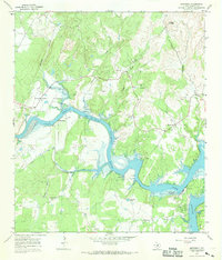
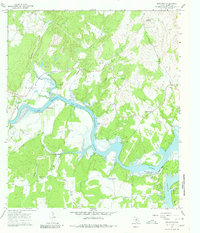
Editions of this 1967 Smithwick Map
3 editions found
Other maps of this area

1887 · Blanco
USGS Topo · 1:125,000

1887 · Burnet
USGS Topo · 1:125,000

1893 · Burnet
USGS Topo · 1:125,000

1894 · Blanco
USGS Topo · 1:125,000

1903 · Burnet
USGS Topo · 1:125,000

1909 · Burnet
USGS Topo · 1:125,000

1925 · Burnet 3-d
USGS Topo · 1:48,000

1929 · Marble Falls
USGS Topo · 1:62,500

1930 · Blanco-1
USGS Topo · 1:48,000

1932 · Marble Falls
USGS Topo · 1:62,500