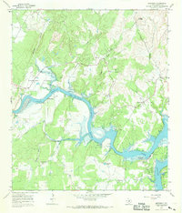
1967 Map of Smithwick
USGS Topo · Published 1969About this map
Lake Travis dominates the center of this landscape, its winding course through the Colorado River valley defined here at a normal pool elevation of 681 feet. The settlement of Smithwick is positioned near the confluence of several drainages, including Post Oak Creek and Hickory Creek. Genealogy and local history are exceptionally well-represented on this sheet by a series of family and community burial grounds, such as Richland Cem, Pangle Cem, and the Burnam Cem located near Double Horn Creek.
Find a feature on this map
29 named features on this map. Tap any name to fly to it.
Don’t see what you’re looking for? This feature index may not catch every label — zoom into the map to look around manually.
Map Details
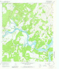
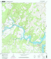
Editions of this 1967 Smithwick Map
3 editions found
Other maps of this area

1887 · Blanco
USGS Topo · 1:125,000

1887 · Burnet
USGS Topo · 1:125,000

1893 · Burnet
USGS Topo · 1:125,000

1894 · Blanco
USGS Topo · 1:125,000

1903 · Burnet
USGS Topo · 1:125,000

1909 · Burnet
USGS Topo · 1:125,000

1925 · Burnet 3-d
USGS Topo · 1:48,000

1929 · Marble Falls
USGS Topo · 1:62,500

1930 · Blanco-1
USGS Topo · 1:48,000

1932 · Marble Falls
USGS Topo · 1:62,500