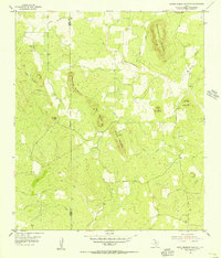
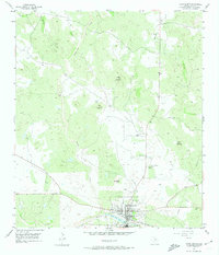
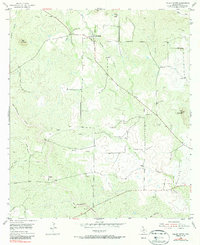
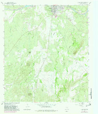
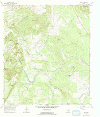
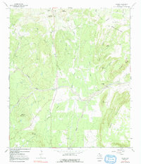
1955 Map of Smoothingiron Mountain
USGS Topo · Published 1956This historical map portrays the area of Smoothingiron Mountain in 1955, primarily covering Llano County as well as portions of Mason County. Featuring a scale of 1:24000, this map provides a highly detailed snapshot of the terrain, roads, buildings, counties, and historical landmarks in the Smoothingiron Mountain region at the time. Published in 1956, it is one of 2 known editions of this map due to revisions or reprints.
Find a feature on this map
23 named features on this map. Tap any name to fly to it.
Don’t see what you’re looking for? This feature index may not catch every label — zoom into the map to look around manually.
Map Details
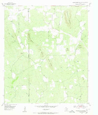
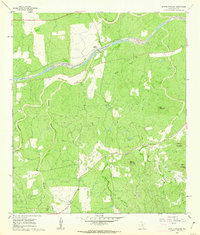
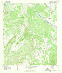
Editions of this 1955 Smoothingiron Mountain Map
2 editions found
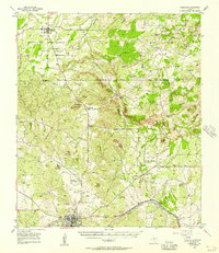
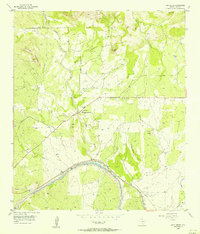
Historical Maps of Llano County Through Time
18 maps found
1925 Burnet 2-c
Llano County, TX
1925 Burnet 3-b
Llano County, TX
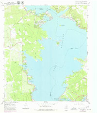
1955 Llano North
Llano County, TX
1955 Smoothingiron Mountain
Llano County, TX

1955 Valley Spring
Llano County, TX
1955 Valley Spring
Llano County, TX
1956 Cherokee
Llano County, TX
1956 Lone Grove
Llano County, TX
1960 Llano South
Llano County, TX
1960 Scotts Crossing
Llano County, TX
1967 Cap Mountain
Llano County, TX
1967 Castell
Llano County, TX
1967 Click
Llano County, TX
1967 Dunman Mountain
Llano County, TX
1967 Enchanted Rock
Llano County, TX
1967 House Mountain
Llano County, TX
1967 Lake Buchanan
Llano County, TX
1967 Oxford
Llano County, TX