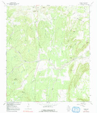
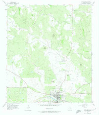
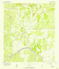
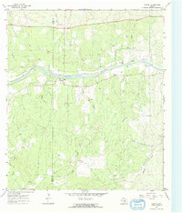
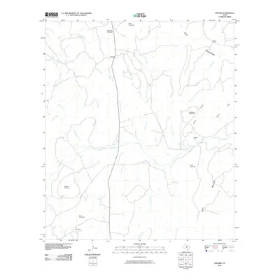
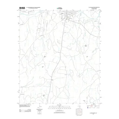
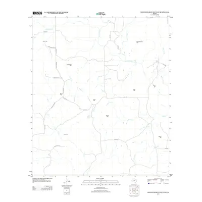
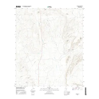
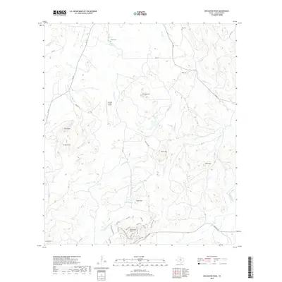
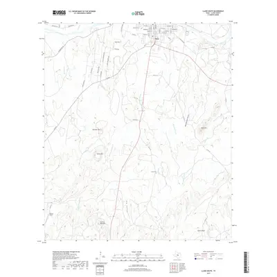
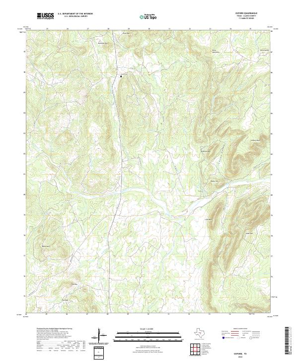
1967 Map of Oxford
USGS Topo · Published 1991About this map
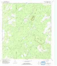
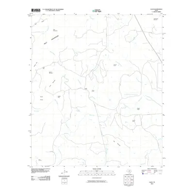
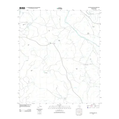
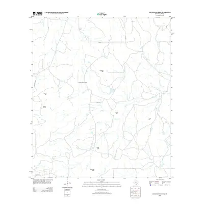
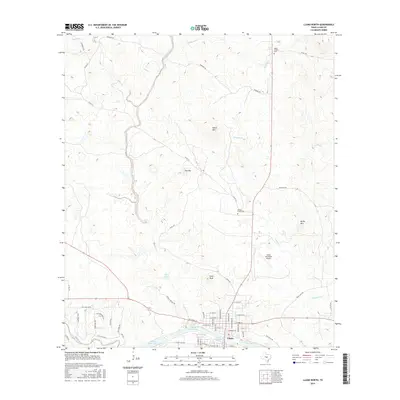
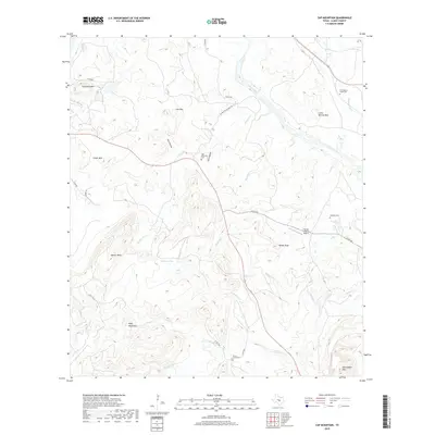
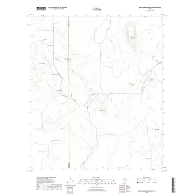
The small settlement of Oxford serves as the focal point for this survey of the Llano County uplands during the late 1960s. The landscape is defined by a dense concentration of named peaks and drainage basins, illustrating the complex topography between the Riley Mountains and Cedar Mountain. The map reveals a ranching and resource-based economy, with Fowler Ranch in the northeast and scattered Gravel Pits indicating local industry.
Find a feature on this map
35 named features on this map. Tap any name to fly to it.
Don’t see what you’re looking for? This feature index may not catch every label — zoom into the map to look around manually.
Map Details
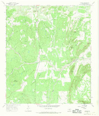
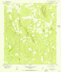
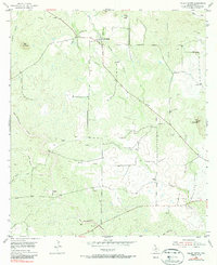
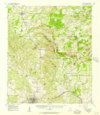
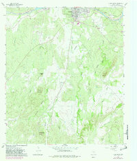
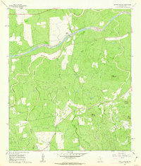
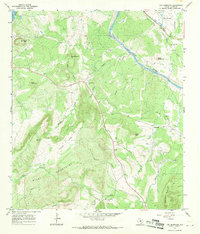
Editions of this 1967 Oxford Map
2 editions found
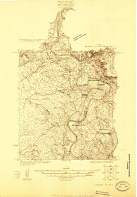
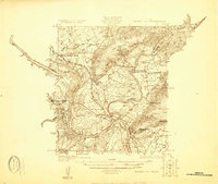
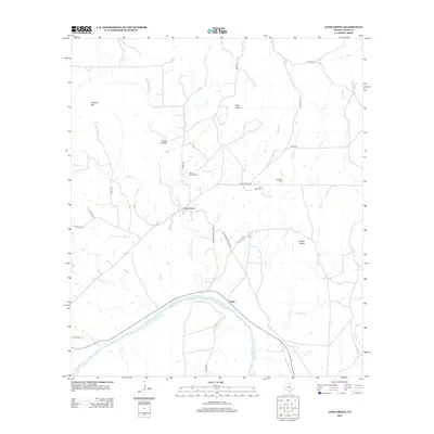
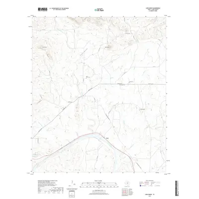
Historical Maps of Oxford Through Time
88 maps found
1925 Burnet 2-c
Llano County, TX
1925 Burnet 3-b
Llano County, TX
1955 Llano North
Llano County, TX
1955 Smoothingiron Mountain
Llano County, TX

1955 Valley Spring
Llano County, TX
1955 Valley Spring
Llano County, TX
1956 Cherokee
Llano County, TX
1956 Lone Grove
Llano County, TX
1960 Llano South
Llano County, TX
1960 Scotts Crossing
Llano County, TX
1967 Cap Mountain
Llano County, TX
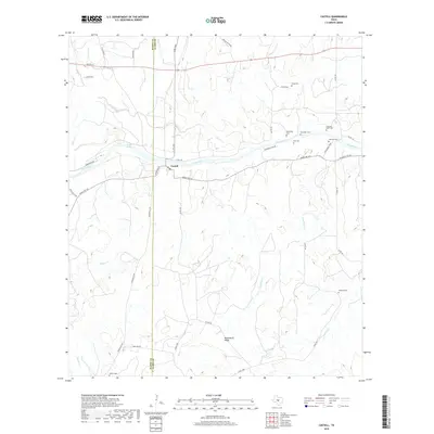
1967 Castell
Llano County, TX
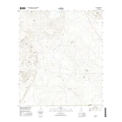
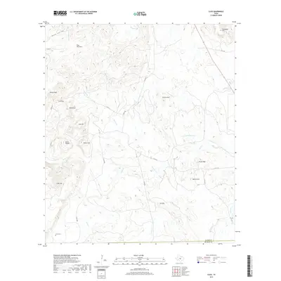
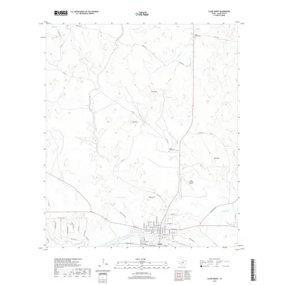
1967 Click
Llano County, TX
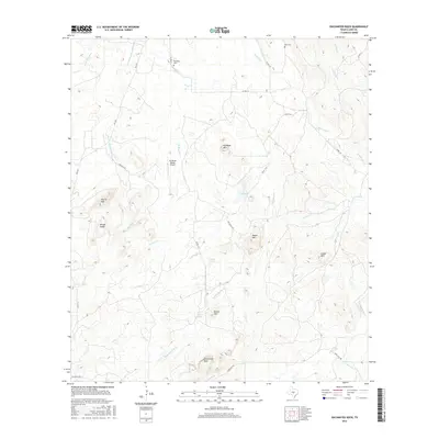
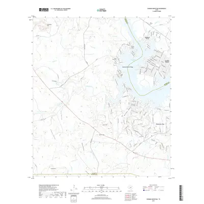
1967 Dunman Mountain
Llano County, TX
1967 Enchanted Rock
Llano County, TX
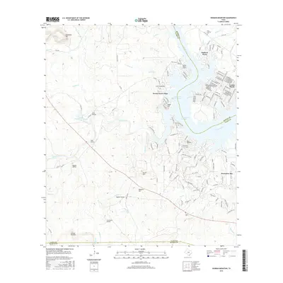
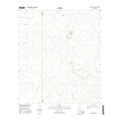
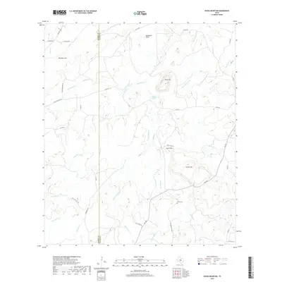
1967 House Mountain
Llano County, TX
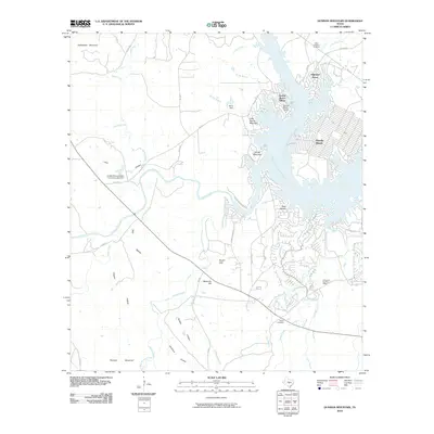
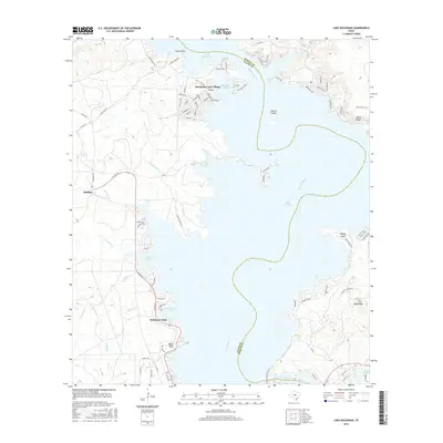
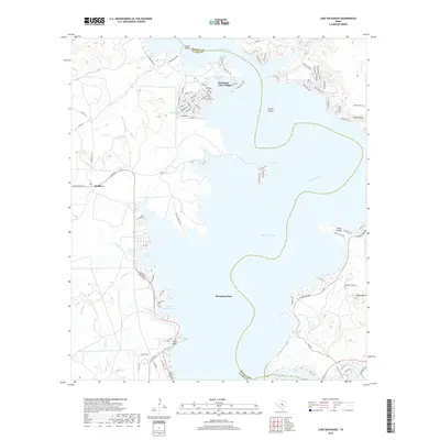
1967 Lake Buchanan
Llano County, TX
1967 Oxford
Llano County, TX
2010 Cap Mountain
Llano County, TX
2010 Castell
Llano County, TX
2010 Click
Llano County, TX
2010 Dunman Mountain
Llano County, TX
2010 Enchanted Rock
Llano County, TX
2010 House Mountain
Llano County, TX
2010 Lake Buchanan
Llano County, TX
2010 Llano North
Llano County, TX
2010 Llano South
Llano County, TX
2010 Lone Grove
Llano County, TX
2010 Oxford
Llano County, TX
2010 Scotts Crossing
Llano County, TX
2010 Smoothingiron Mountain
Llano County, TX
2010 Valley Spring
Llano County, TX
2012 Cap Mountain
Llano County, TX
2012 Castell
Llano County, TX
2012 Click
Llano County, TX
2012 Dunman Mountain
Llano County, TX
2012 Enchanted Rock
Llano County, TX
2012 House Mountain
Llano County, TX
2012 Lake Buchanan
Llano County, TX
2012 Llano North
Llano County, TX
2012 Llano South
Llano County, TX
2012 Lone Grove
Llano County, TX
2012 Oxford
Llano County, TX
2012 Scotts Crossing
Llano County, TX
2012 Smoothingiron Mountain
Llano County, TX
2012 Valley Spring
Llano County, TX
2016 Cap Mountain
Llano County, TX
2016 Castell
Llano County, TX
2016 Click
Llano County, TX
2016 Dunman Mountain
Llano County, TX
2016 Enchanted Rock
Llano County, TX
2016 House Mountain
Llano County, TX
2016 Lake Buchanan
Llano County, TX
2016 Llano North
Llano County, TX
2016 Llano South
Llano County, TX
2016 Lone Grove
Llano County, TX
2016 Oxford
Llano County, TX
2016 Scotts Crossing
Llano County, TX
2016 Smoothingiron Mountain
Llano County, TX
2016 Valley Spring
Llano County, TX
2019 Cap Mountain
Llano County, TX
2019 Castell
Llano County, TX
2019 Click
Llano County, TX
2019 Dunman Mountain
Llano County, TX
2019 Enchanted Rock
Llano County, TX
2019 House Mountain
Llano County, TX
2019 Lake Buchanan
Llano County, TX
2019 Llano North
Llano County, TX
2019 Llano South
Llano County, TX
2019 Lone Grove
Llano County, TX
2019 Oxford
Llano County, TX
2019 Scotts Crossing
Llano County, TX
2019 Smoothingiron Mountain
Llano County, TX
2019 Valley Spring
Llano County, TX
2022 Cap Mountain
Llano County, TX
2022 Castell
Llano County, TX
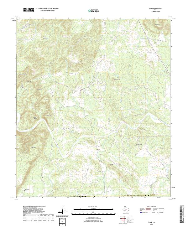
2022 Click
Llano County, TX
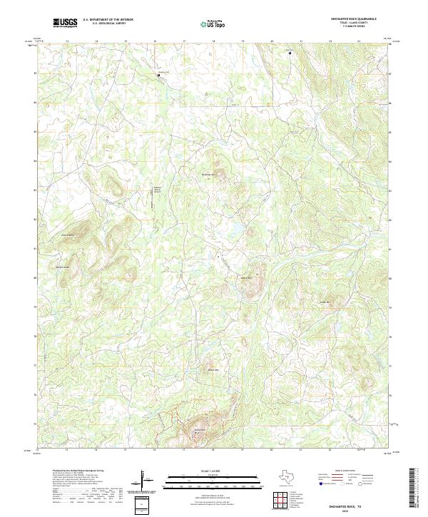
2022 Enchanted Rock
Llano County, TX
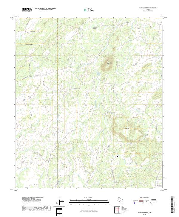
2022 House Mountain
Llano County, TX
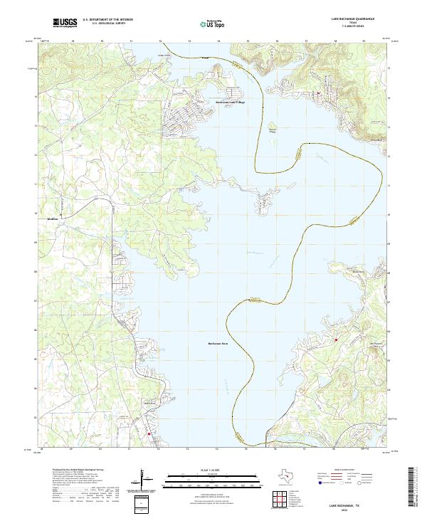
2022 Lake Buchanan
Llano County, TX
2022 Llano North
Llano County, TX
2022 Llano South
Llano County, TX
2022 Lone Grove
Llano County, TX
2022 Oxford
Llano County, TX
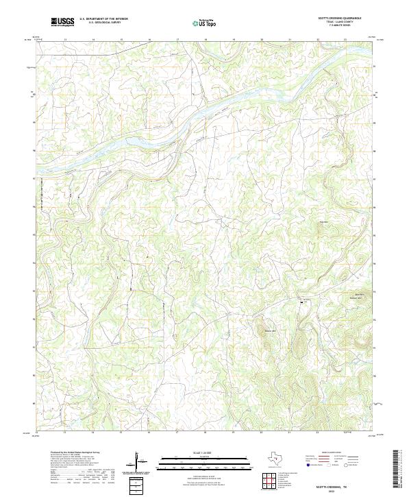
2022 Scotts Crossing
Llano County, TX
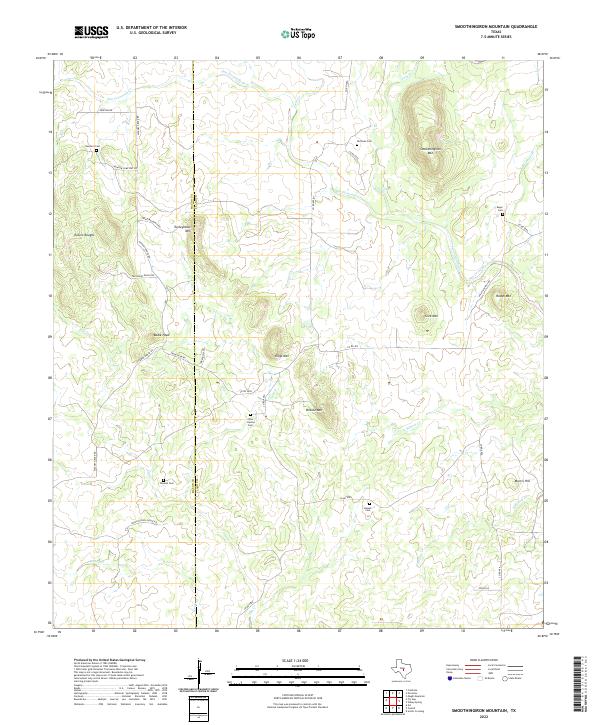
2022 Smoothingiron Mountain
Llano County, TX
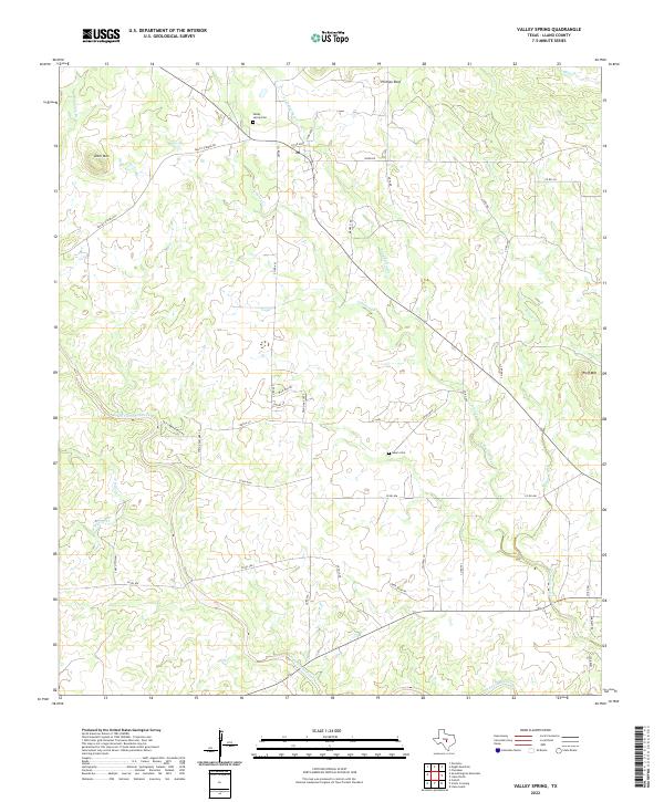
2022 Valley Spring
Llano County, TX
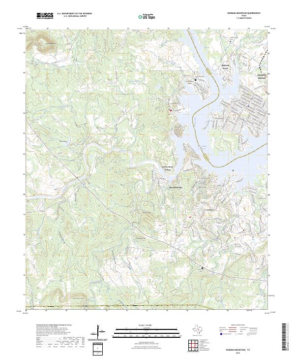
2023 Dunman Mountain
Llano County, TX