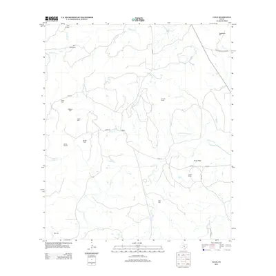
2012 Map of Click
USGS Topo · Published 2012About this map
Click stands at the center of this Llano County landscape, where the drainage of Sandy Cr and its various tributaries define the geography of the eastern Texas Hill Country. The terrain is notably punctuated by isolated peaks and ridges, including Packsaddle Mtn in the northeast and the Riley Mountains to the northwest. These granite and quartz formations, such as Granite Knob and Quartz Knob, create a distinct topographical profile that has long influenced local movement and settlement patterns.
Find a feature on this map
32 named features on this map. Tap any name to fly to it.
Don’t see what you’re looking for? This feature index may not catch every label — zoom into the map to look around manually.
Map Details
Editions of this 2012 Click Map
This is the sole edition of this map. No revisions or reprints were ever made.
Other maps of this area

1887 · Llano
USGS Topo · 1:125,000

1887 · Blanco
USGS Topo · 1:125,000

1887 · Burnet
USGS Topo · 1:125,000

1893 · Burnet
USGS Topo · 1:125,000

1894 · Fredericksburg
USGS Topo · 1:125,000

1894 · Blanco
USGS Topo · 1:125,000

1894 · Llano
USGS Topo · 1:125,000

1903 · Burnet
USGS Topo · 1:125,000

1904 · Llano
USGS Topo · 1:125,000

1909 · Llano
USGS Topo · 1:125,000