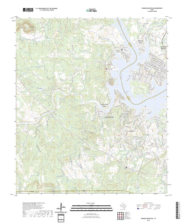
2023 Map of Dunman Mountain
USGS Topo · Published 2023About this map
The Colorado River and the sprawling waters of Lake Lyndon B Johnson anchor this detailed study of the Texas Hill Country, where the boundaries of Llano, Burnet, and Blanco counties meet. The landscape is defined by its transition from high granite outcroppings like Packsaddle Mtn and Dunman Mtn to the modern residential development of Horseshoe Bay and Sunrise Beach Village. For genealogists, the map preserves the locations of several rural burial grounds, including Wolf Crossing Cem near the Burnet County line and Pecan Creek Cem to the south.
Find a feature on this map
171 named features on this map. Tap any name to fly to it.
Don’t see what you’re looking for? This feature index may not catch every label — zoom into the map to look around manually.
Map Details
Editions of this 2023 Dunman Mountain Map
This is the sole edition of this map. No revisions or reprints were ever made.
Other maps of this area

1887 · Llano
USGS Topo · 1:125,000

1887 · Blanco
USGS Topo · 1:125,000

1887 · Burnet
USGS Topo · 1:125,000

1893 · Burnet
USGS Topo · 1:125,000

1894 · Fredericksburg
USGS Topo · 1:125,000

1894 · Blanco
USGS Topo · 1:125,000

1894 · Llano
USGS Topo · 1:125,000

1903 · Burnet
USGS Topo · 1:125,000

1904 · Llano
USGS Topo · 1:125,000

1909 · Llano
USGS Topo · 1:125,000