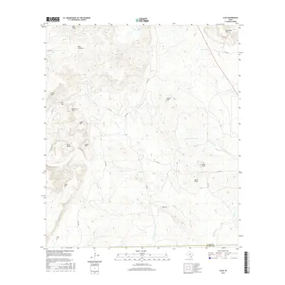
2016 Map of Click
USGS Topo · Published 2016About this map
Click stands at the center of this Central Texas landscape, situated in the shadow of the Riley Mountains and Packsaddle Mtn. The terrain is defined by a dense network of high points and drainages, where the Sandy Creek watershed carves through the rocky topography. This area, marking the boundary between Llano and Blanco counties, is punctuated by uniquely named landmarks such as Devils Toenail, Walker Peak, and Quartz Knob.
Find a feature on this map
37 named features on this map. Tap any name to fly to it.
Don’t see what you’re looking for? This feature index may not catch every label — zoom into the map to look around manually.
Map Details
Editions of this 2016 Click Map
This is the sole edition of this map. No revisions or reprints were ever made.
Other maps of this area

1887 · Llano
USGS Topo · 1:125,000

1887 · Blanco
USGS Topo · 1:125,000

1887 · Burnet
USGS Topo · 1:125,000

1893 · Burnet
USGS Topo · 1:125,000

1894 · Fredericksburg
USGS Topo · 1:125,000

1894 · Blanco
USGS Topo · 1:125,000

1894 · Llano
USGS Topo · 1:125,000

1903 · Burnet
USGS Topo · 1:125,000

1904 · Llano
USGS Topo · 1:125,000

1909 · Llano
USGS Topo · 1:125,000