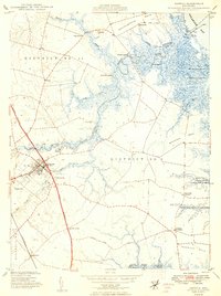
1949 Map of Smyrna
USGS Topo · Published 1949About this map
The Smyrna River and its labyrinth of tidal marshes define the landscape of northern Delaware in the late 1940s. This survey illustrates a coastal economy transitioning from its maritime roots, where numerous historical river access points like Smyrna Landing, Shorts Landing, and Eagles Nest Landing are clearly marked along the meandering waterway. The town of Smyrna serves as the inland hub, positioned at the intersection of major transit routes like Dupont Boulevard and the Pennsylvania Road.
Find a feature on this map
41 named features on this map. Tap any name to fly to it.
Don’t see what you’re looking for? This feature index may not catch every label — zoom into the map to look around manually.
Map Details
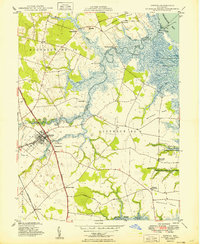
Editions of this 1949 Smyrna Map
2 editions found
Other maps of this area

1890 · Bay Side
USGS Topo · 1:62,500

1894 · Bay Side
USGS Topo · 1:62,500

1899 · Vineland
USGS Topo · 1:125,000

1899 · Dover
USGS Topo · 1:125,000

1906 · Dover
USGS Topo · 1:125,000

1919 · Vineland
USGS Topo · 1:125,000

1920 · Dover
USGS Topo · 1:125,000

1926 · Wyoming
USGS Topo · 1:48,000

1930 · Wyoming
USGS Topo · 1:62,500

1931 · Wyoming
USGS Topo · 1:62,500
Featured Places
- Smyrna, DE
- Colmar Manor, DE
- Village of Garrison Lake, DE
- Woodland Court Mobile Home Park, DE
- Hedgerow Hollow Mobile Home Park, DE