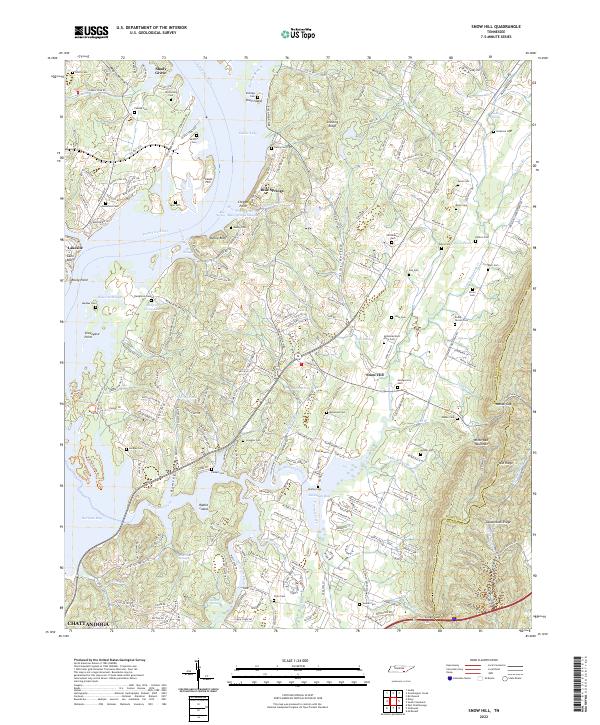
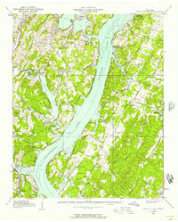
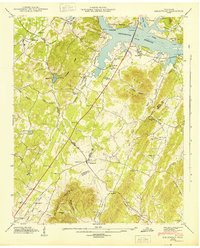
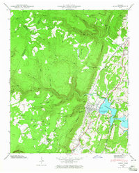
2022 Map of Snow Hill
USGS Topo · Published 2022About this map
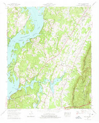
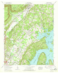
The Tennessee River and the broad waters of Dallas Lake dominate the northwestern landscape of this Hamilton County region, shaping a terrain defined by complex inlets and prominent riverside features like Denny Bluff and Gann Bluff. Inland from the river, the settlement of Blue Springs and the village of Snow Hill serve as local anchors. The map reveals a dense concentration of family burial grounds and community graveyards, including the McGill Cemetery, McDonald East View Cem, and Roddy-Yarnell Cem, which offer significant value for genealogical research. To the east, the elevation rises sharply toward White Oak Mountain, where the topography is broken by Mahan Gap and Green Gap. This transition from the aquatic environments of Savannah Bay and Wolftever Creek to the ridgelines of Lauderback Ridge illustrates the varied geographic character of the Tennessee Valley.
Find a feature on this map
174 named features on this map. Tap any name to fly to it.
Don’t see what you’re looking for? This feature index may not catch every label — zoom into the map to look around manually.
Map Details
Editions of this 2022 Snow Hill Map
This is the sole edition of this map. No revisions or reprints were ever made.
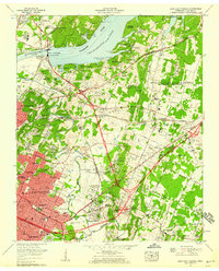
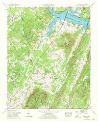
Historical Maps of Blue Springs Through Time
31 maps found
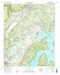
1935 Birchwood
Hamilton County, TN
1935 Daisy
Hamilton County, TN
1935 East Chattanooga
Hamilton County, TN
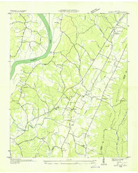
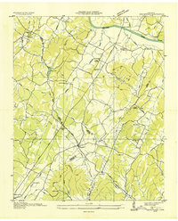
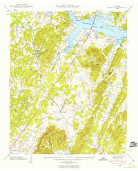
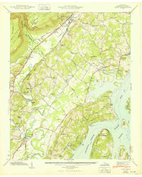
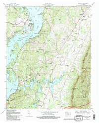
1935 Snow Hill
Hamilton County, TN
1935 Soddy
Hamilton County, TN
1935 Soddy Island
Hamilton County, TN
1939 Soddy Island
Hamilton County, TN
1942 Birchwood
Hamilton County, TN
1942 East Chattanooga
Hamilton County, TN
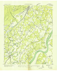
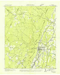
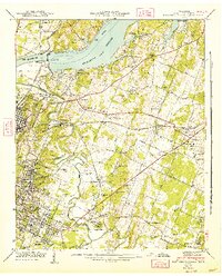
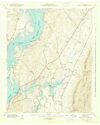
1942 Snow Hill
Hamilton County, TN
1943 Birchwood
Hamilton County, TN
1943 Daisy
Hamilton County, TN
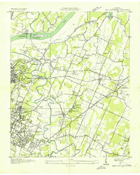
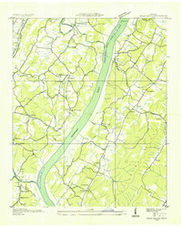
1943 Snow Hill
Hamilton County, TN
1946 Soddy
Hamilton County, TN
1947 Soddy
Hamilton County, TN
1958 Daisy
Hamilton County, TN
1958 East Chattanooga
Hamilton County, TN
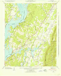
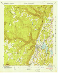
1964 Snow Hill
Hamilton County, TN
1967 Birchwood
Hamilton County, TN
1969 Daisy
Hamilton County, TN
1969 East Chattanooga
Hamilton County, TN
1972 Grasshopper Creek
Hamilton County, TN
1972 Soddy
Hamilton County, TN
1976 Daisy
Hamilton County, TN
1980 Snow Hill
Hamilton County, TN
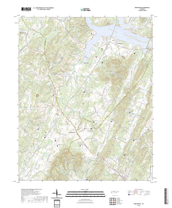
2022 Birchwood
Hamilton County, TN
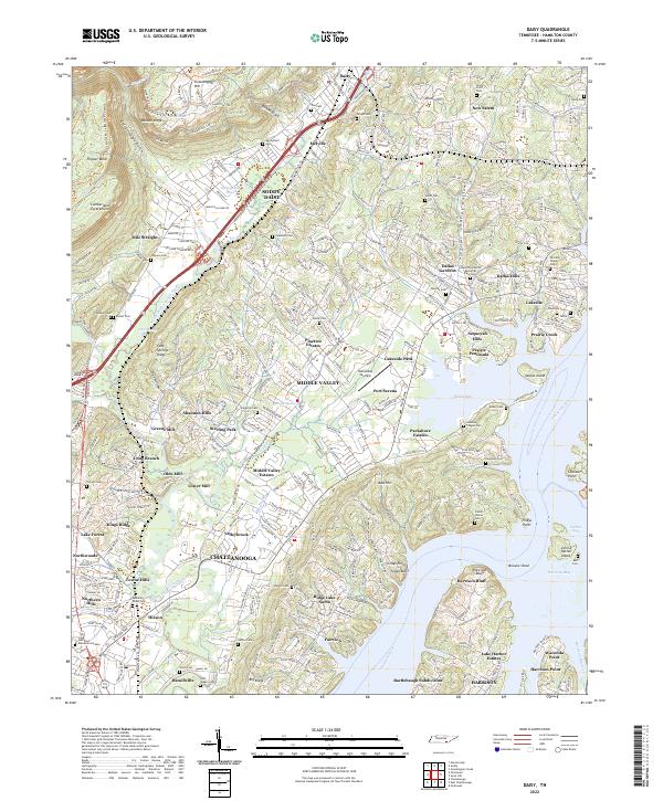
2022 Daisy
Hamilton County, TN
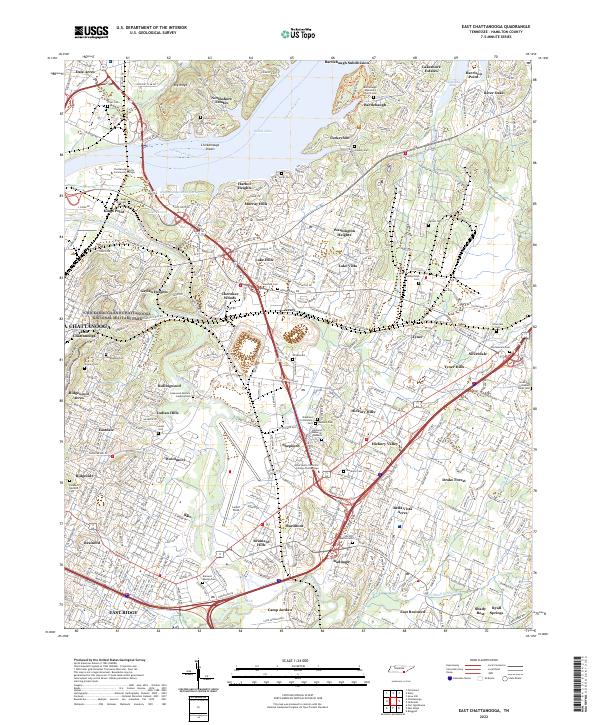
2022 East Chattanooga
Hamilton County, TN
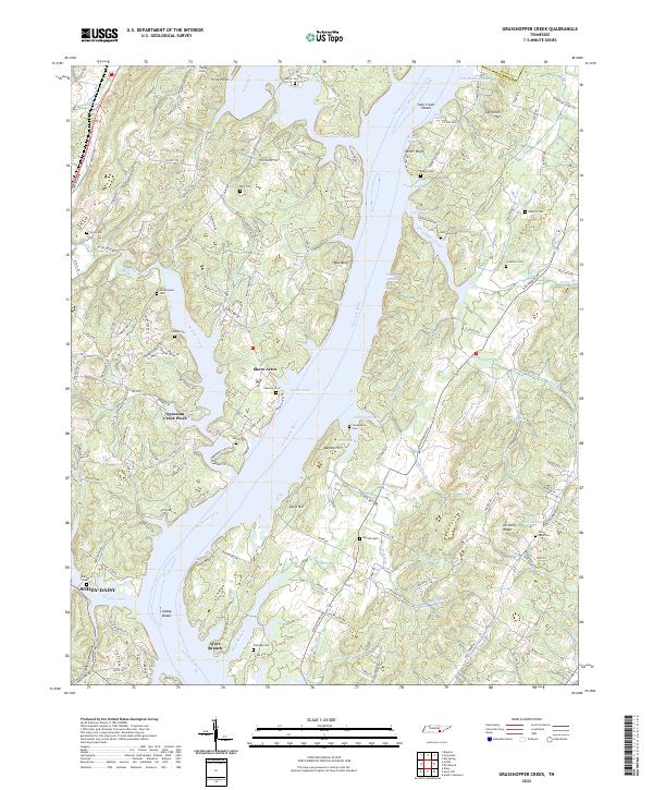
2022 Grasshopper Creek
Hamilton County, TN
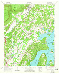
2022 Snow Hill
Hamilton County, TN
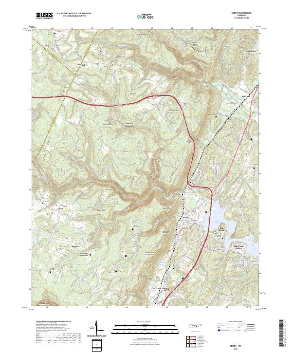
2022 Soddy
Hamilton County, TN