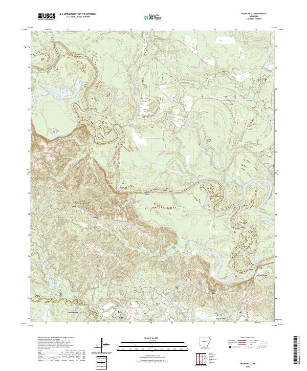
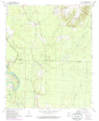
2024 Map of Snow Hill
USGS Topo · Published 2024This historical map portrays the area of Snow Hill in 2024, primarily covering Ouachita County as well as portions of Union County and Calhoun County. Featuring a scale of 1:24000, this map provides a highly detailed snapshot of the terrain, roads, buildings, counties, and historical landmarks in the Snow Hill region at the time. Published in 2024, it is the sole known edition of this map.
Find a feature on this map
53 named features on this map. Tap any name to fly to it.
Don’t see what you’re looking for? This feature index may not catch every label — zoom into the map to look around manually.
Map Details
Editions of this 2024 Snow Hill Map
This is the sole edition of this map. No revisions or reprints were ever made.
Historical Maps of Millers Bluff Through Time
18 maps found
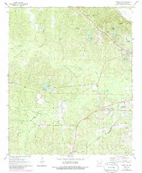
1962 Buena Vista
Ouachita County, AR
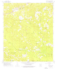
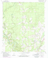
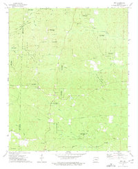
1962 Snow Hill
Ouachita County, AR
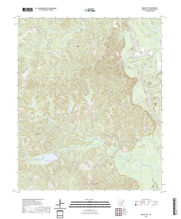
1971 Bragg City
Ouachita County, AR
1971 Camden SW
Ouachita County, AR
1971 Harmony Grove
Ouachita County, AR
1971 Ouachita
Ouachita County, AR

1973 Eagle Mills
Ouachita County, AR
1973 Holly Springs
Ouachita County, AR
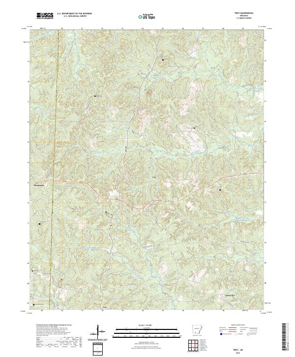
1973 Troy
Ouachita County, AR
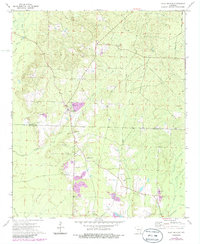
2024 Bragg City
Ouachita County, AR
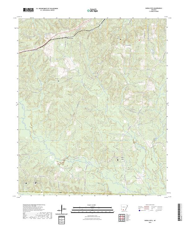
2024 Buena Vista
Ouachita County, AR
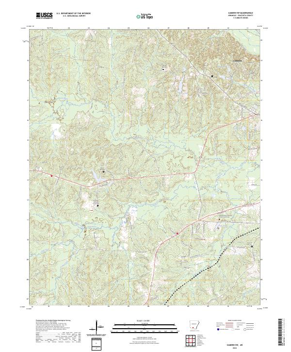
2024 Camden SW
Ouachita County, AR
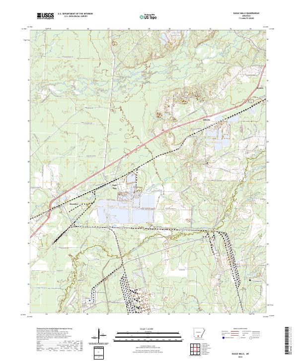
2024 Eagle Mills
Ouachita County, AR
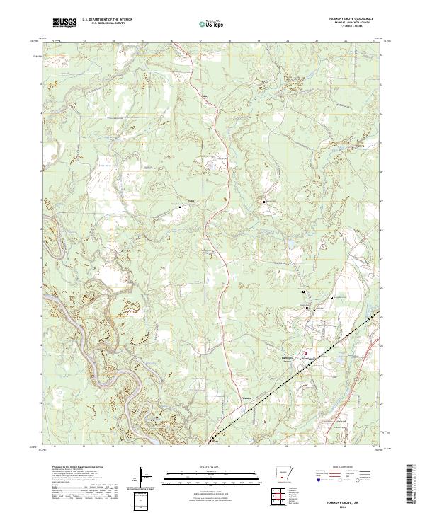
2024 Harmony Grove
Ouachita County, AR
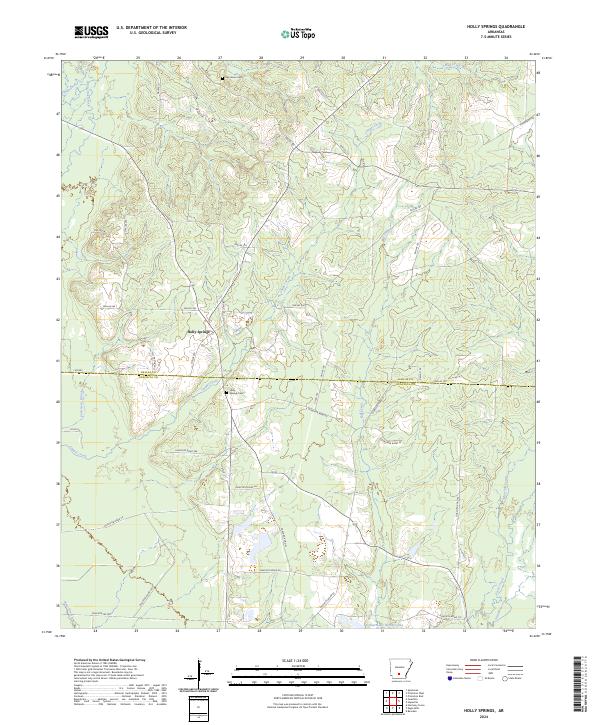
2024 Holly Springs
Ouachita County, AR
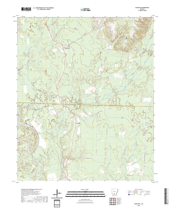
2024 Ouachita
Ouachita County, AR
2024 Snow Hill
Ouachita County, AR
2024 Troy
Ouachita County, AR