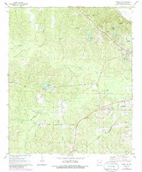
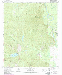
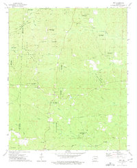
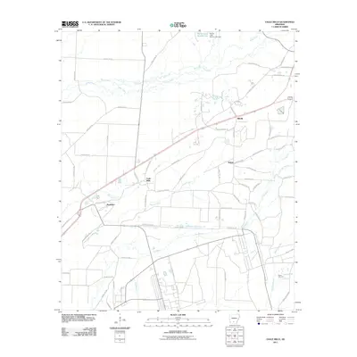
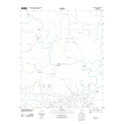
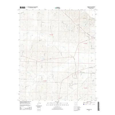
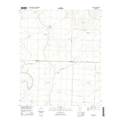
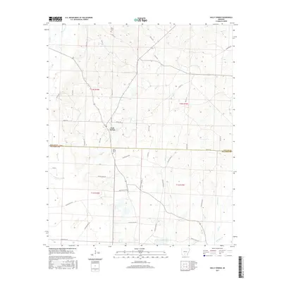
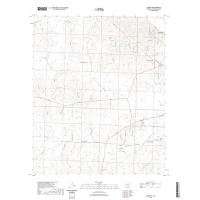
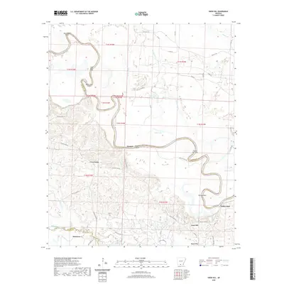
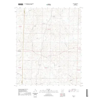
1971 Map of Camden SW
USGS Topo · Published 1986About this map
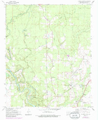
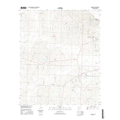
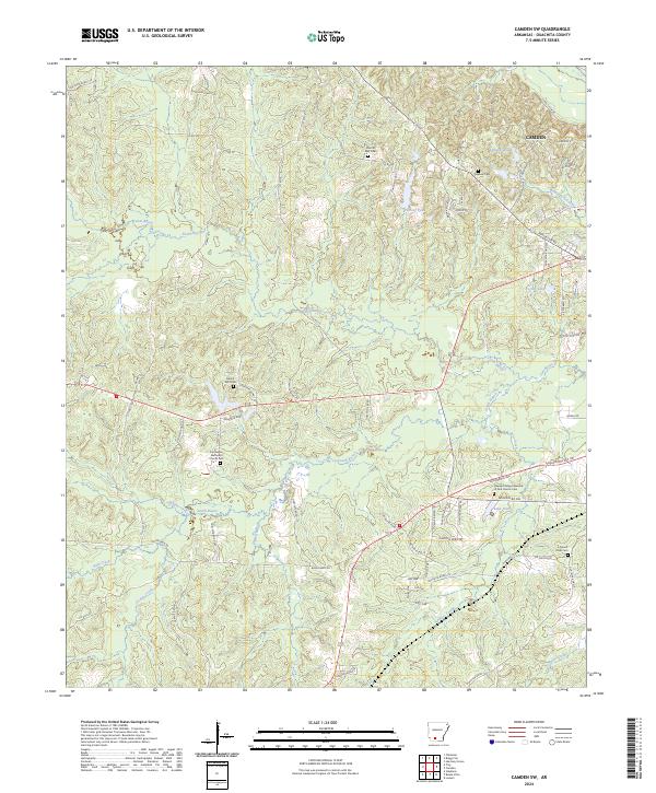
Camden and its southwestern rural outskirts are defined by the convergence of major rail lines and a winding network of bayous in the early 1970s. The St Louis Southwestern and Missouri Pacific railroads anchor the industrial and transport identity of the region, passing through small communities like Finnswitch and Woodlawn. This map reveals a deeply rooted rural landscape where life centered around congregational hubs like Mt Olive Ch, Sweet Home Ch, and St James Ch, many with associated burial grounds such as Pleasant Ridge Cem and Hawkins Cem. The terrain is characterized by water-level geography, with South Bayou, North Bayou, and Two Bayou meandering through the timbered lowlands. Revisions from the mid-1980s highlight the introduction of modern infrastructure, such as the Pipeline corridor, layered over an older landscape of country roads like Wadleigh Road.
Find a feature on this map
43 named features on this map. Tap any name to fly to it.
Don’t see what you’re looking for? This feature index may not catch every label — zoom into the map to look around manually.
Map Details
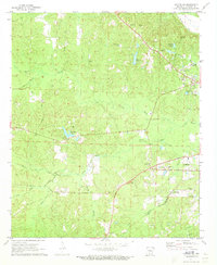
Editions of this 1971 Camden SW Map
2 editions found
Historical Maps of Camden Through Time
54 maps found
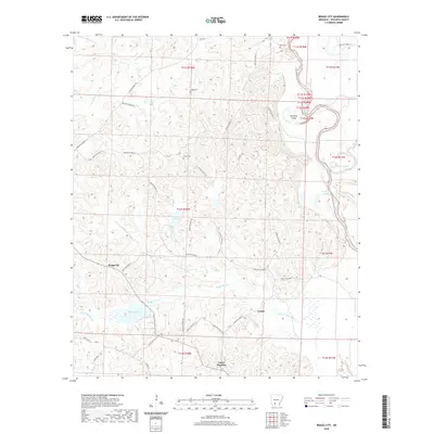
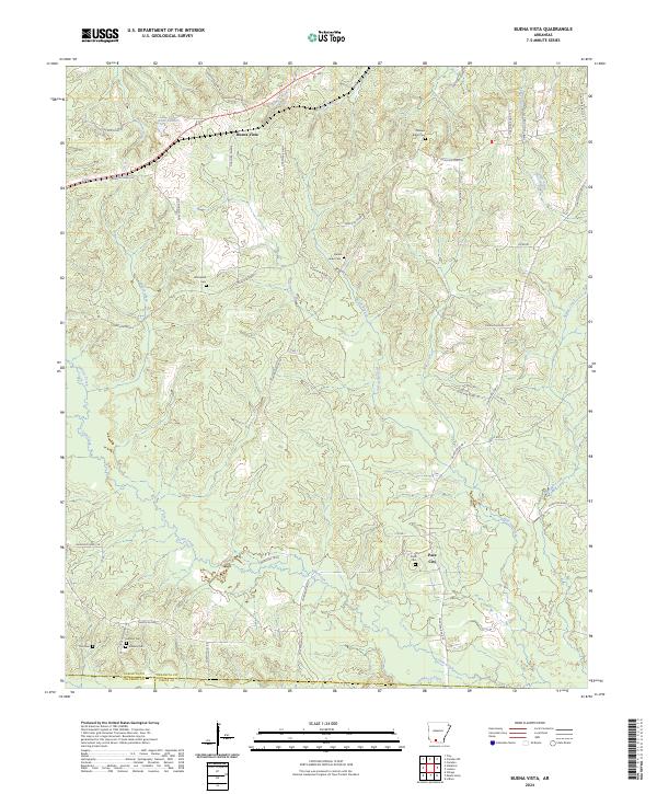
1962 Buena Vista
Ouachita County, AR
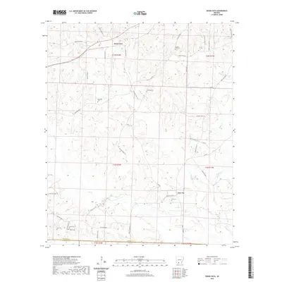
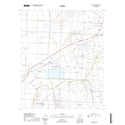
1962 Snow Hill
Ouachita County, AR
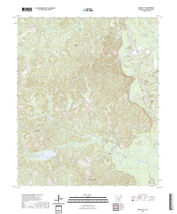
1971 Bragg City
Ouachita County, AR
1971 Camden SW
Ouachita County, AR
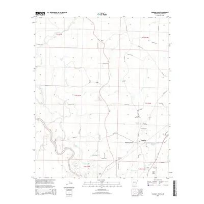
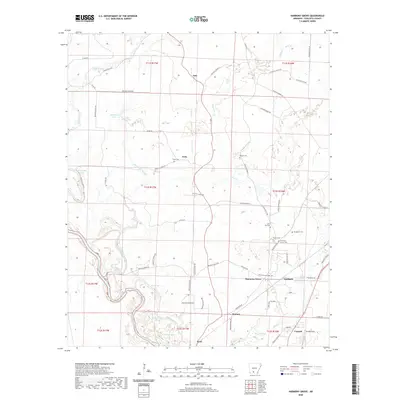
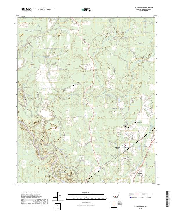
1971 Harmony Grove
Ouachita County, AR
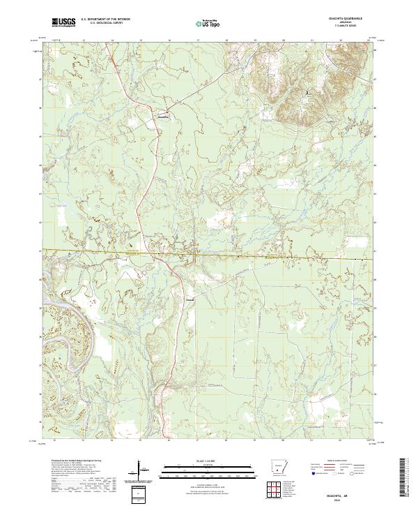
1971 Ouachita
Ouachita County, AR

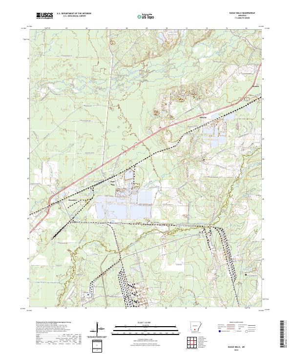
1973 Eagle Mills
Ouachita County, AR
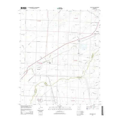
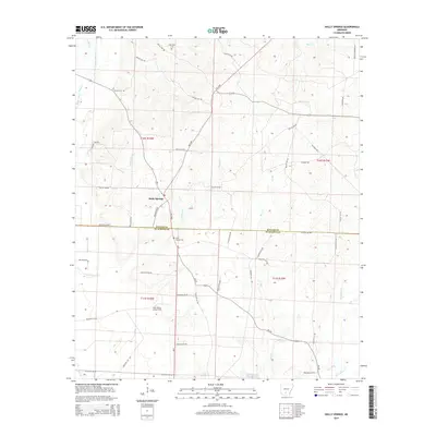
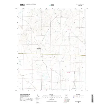
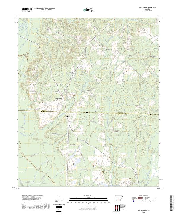
1973 Holly Springs
Ouachita County, AR
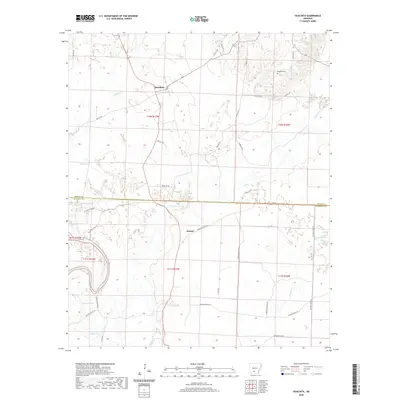
1973 Troy
Ouachita County, AR
2011 Bragg City
Ouachita County, AR
2011 Buena Vista
Ouachita County, AR
2011 Camden SW
Ouachita County, AR
2011 Eagle Mills
Ouachita County, AR
2011 Harmony Grove
Ouachita County, AR
2011 Holly Springs
Ouachita County, AR
2011 Ouachita
Ouachita County, AR
2011 Snow Hill
Ouachita County, AR
2011 Troy
Ouachita County, AR
2014 Bragg City
Ouachita County, AR
2014 Buena Vista
Ouachita County, AR
2014 Camden SW
Ouachita County, AR
2014 Eagle Mills
Ouachita County, AR
2014 Harmony Grove
Ouachita County, AR
2014 Holly Springs
Ouachita County, AR
2014 Ouachita
Ouachita County, AR
2014 Snow Hill
Ouachita County, AR
2014 Troy
Ouachita County, AR
2017 Bragg City
Ouachita County, AR
2017 Buena Vista
Ouachita County, AR
2017 Camden SW
Ouachita County, AR
2017 Eagle Mills
Ouachita County, AR
2017 Harmony Grove
Ouachita County, AR
2017 Holly Springs
Ouachita County, AR
2017 Ouachita
Ouachita County, AR
2017 Snow Hill
Ouachita County, AR
2017 Troy
Ouachita County, AR
2020 Bragg City
Ouachita County, AR
2020 Buena Vista
Ouachita County, AR
2020 Camden SW
Ouachita County, AR
2020 Eagle Mills
Ouachita County, AR
2020 Harmony Grove
Ouachita County, AR
2020 Holly Springs
Ouachita County, AR
2020 Ouachita
Ouachita County, AR
2020 Snow Hill
Ouachita County, AR
2020 Troy
Ouachita County, AR
2024 Bragg City
Ouachita County, AR
2024 Buena Vista
Ouachita County, AR
2024 Camden SW
Ouachita County, AR
2024 Eagle Mills
Ouachita County, AR
2024 Harmony Grove
Ouachita County, AR
2024 Holly Springs
Ouachita County, AR
2024 Ouachita
Ouachita County, AR
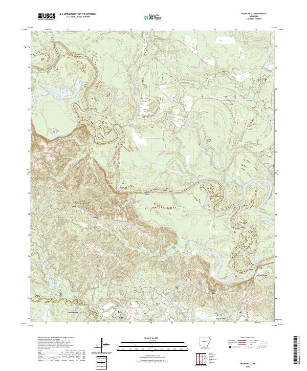
2024 Snow Hill
Ouachita County, AR
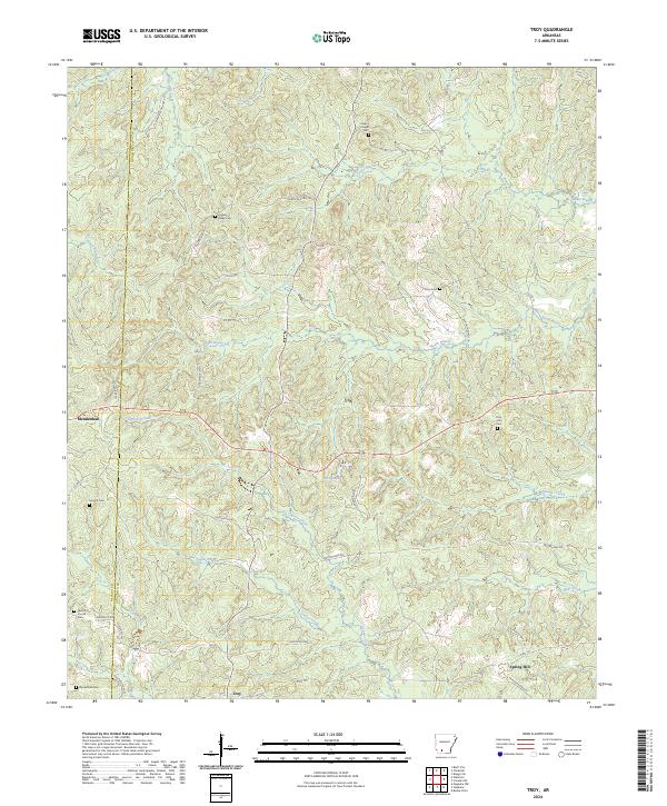
2024 Troy
Ouachita County, AR