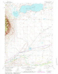
1963 Map of Sodergreen Lake
USGS Topo · Published 1984About this map
Lake Hattie Reservoir and the Laramie River dominate this high-plains landscape in Albany County, where a complex network of irrigation projects supported mid-century ranching operations. The map documents an extensive system of water management features, including the Sodergreen High Line Ditch, Pioneer Canal, and the Lake Hattie Supply Canal, which redirected water across the basin to sustain local agriculture. These engineered waterways weave through a territory defined by established family holdings such as the Sodergreen Ranch, Jenkins Ranch, and Orton Ranch.
Find a feature on this map
43 named features on this map. Tap any name to fly to it.
Don’t see what you’re looking for? This feature index may not catch every label — zoom into the map to look around manually.
Map Details
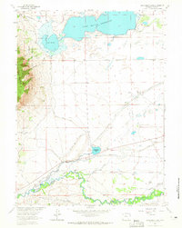
Editions of this 1963 Sodergreen Lake Map
2 editions found
Other maps of this area

1895 · Laramie
USGS Topo · 1:125,000

1902 · Laramie
USGS Topo · 1:125,000

1905 · Laramie
USGS Topo · 1:125,000

1906 · Medicine Bow
USGS Topo · 1:125,000

1906 · Laramie
USGS Topo · 1:125,000

1908 · Laramie
USGS Topo · 1:125,000

1908 · Medicine Bow
USGS Topo · 1:125,000

1954 · Cheyenne
USGS Topo · 1:250,000

1954 · Rawlins
USGS Topo · 1:250,000

1958 · Rawlins
USGS Topo · 1:250,000