
1951 Map of Solomon
USGS Topo · Published 1951About this map
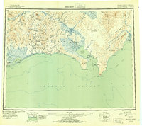
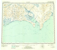
Gold mining and coastal trade define this mid-century landscape of the Seward Peninsula, where the Seward Peninsula Railroad once pushed inland toward the mining district near Council. The terrain is marked by the industrial footprints of the Big Hurrah Mine and the settlement at Solomon, reflecting the region's transition from the frantic boom years to more established operations. Along the southern coast, Safety Sound and Golovnin Bay provide a window into the maritime logistics of the era, serving remote outposts like White Mountain and the Mission at Golovin. The presence of the Norton Bay Native Reservation in the east near Elim highlights the complex heritage of the region, where traditional indigenous territories and federal designations met the infrastructure of the mining and judicial divisions. This 1951 compilation offers a clear view of the trails, airstrips, and river networks that remained vital for travel across the Darby Mountains.
Find a feature on this map
70 named features on this map. Tap any name to fly to it.
Don’t see what you’re looking for? This feature index may not catch every label — zoom into the map to look around manually.
Map Details
Editions of this 1951 Solomon Map
3 editions found
Other maps of this area

1907 · Casadepaga
USGS Topo · 1:62,500

1907 · Solomon
USGS Topo · 1:62,500

1948 · Norton Bay
USGS Topo · 1:250,000

1950 · Bendeleben A-6
USGS Topo · 1:63,360

1950 · Bendeleben A-4
USGS Topo · 1:63,360

1950 · Bendeleben A-5
USGS Topo · 1:63,360

1950 · Bendeleben A-3
USGS Topo · 1:63,360

1950 · Bendeleben A-2
USGS Topo · 1:63,360

1950 · Bendeleben A-1
USGS Topo · 1:63,360

1950 · Solomon B-3
USGS Topo · 1:63,360