
1958 Map of Sonora
USGS Topo · Published 1959About this map
Fitzgerald Mountain and Webber Mountain dominate the central landscape of this late 1950s survey, marking the transition from the expanding city of Springdale toward the rural valleys of the White River. The river winds through the eastern portion of the quadrangle, crossed by a series of traditional river crossings including Helton Ford, Martin Ford, and Nells Bluff Ford. These points of transit, along with the St Louis San Francisco RR, illustrate the era's transport network before major highway development.
Find a feature on this map
50 named features on this map. Tap any name to fly to it.
Don’t see what you’re looking for? This feature index may not catch every label — zoom into the map to look around manually.
Map Details
Editions of this 1958 Sonora Map
4 editions found
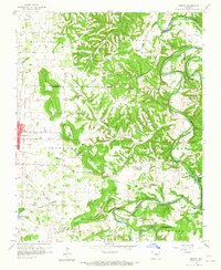
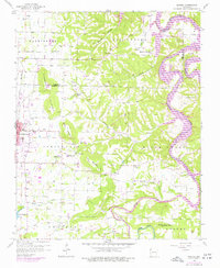
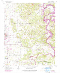
Other maps of this area

1899 · Fayetteville
USGS Topo · 1:125,000

1900 · Eureka Springs
USGS Topo · 1:125,000

1901 · Eureka Springs
USGS Topo · 1:125,000

1901 · Fayetteville
USGS Topo · 1:125,000

1904 · Fayetteville
USGS Topo · 1:125,000

1945 · Harrison
USGS Topo · 1:250,000

1949 · Harrison
USGS Topo · 1:250,000

1954 · Harrison
USGS Topo · 1:250,000

1954 · Tulsa
USGS Topo · 1:250,000

1957 · War Eagle
USGS Topo · 1:24,000